4.3 km away
Van Trump Park
A south facing alternative to the Paradise Visitor Center
Moderate Ski Touring
- Distance
- 15 km
- Ascent
- 2 km
- Descent
- 2 km
Exploring the Western corner of the Tatoosh Range
Ski Touring Moderate

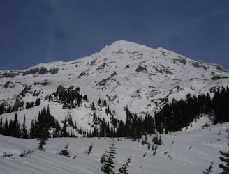
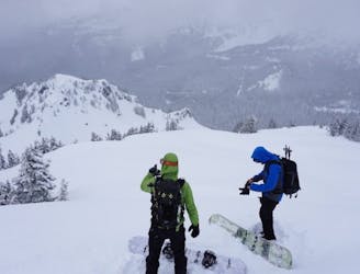
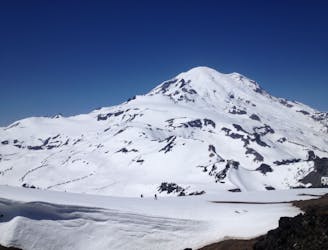
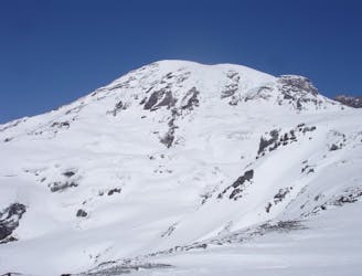
The beauty of the Wahpenyo Peak ski tour is that you don’t have to deal with the Paradise Gate and wether it will be open. Since this tour starts at Longmire you can access it any time or any day. Since the peak is within the Tatoosh Range it is north facing with some great alpine slopes leading down to the upper basin. Another great advantage of this trip is that even though it starts at a low elevation there is a trail the whole way into the alpine which is incredibly easy to follow. This is not your standard tour so I wouldn’t expect much company.
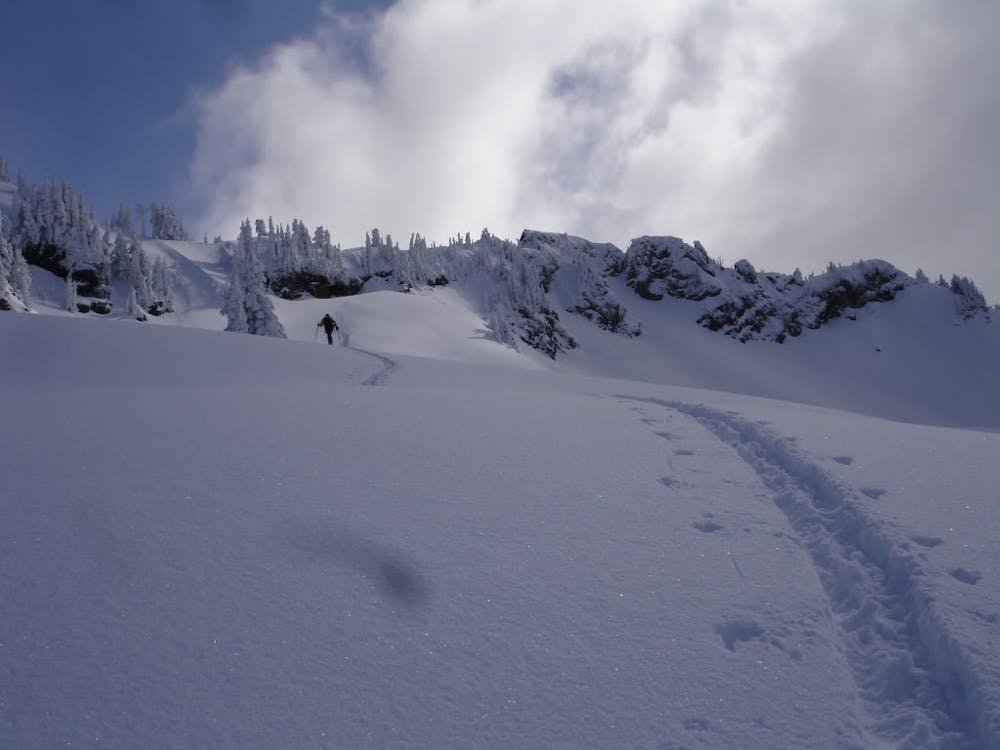
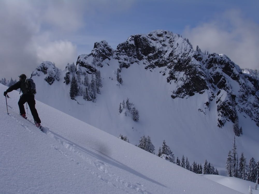
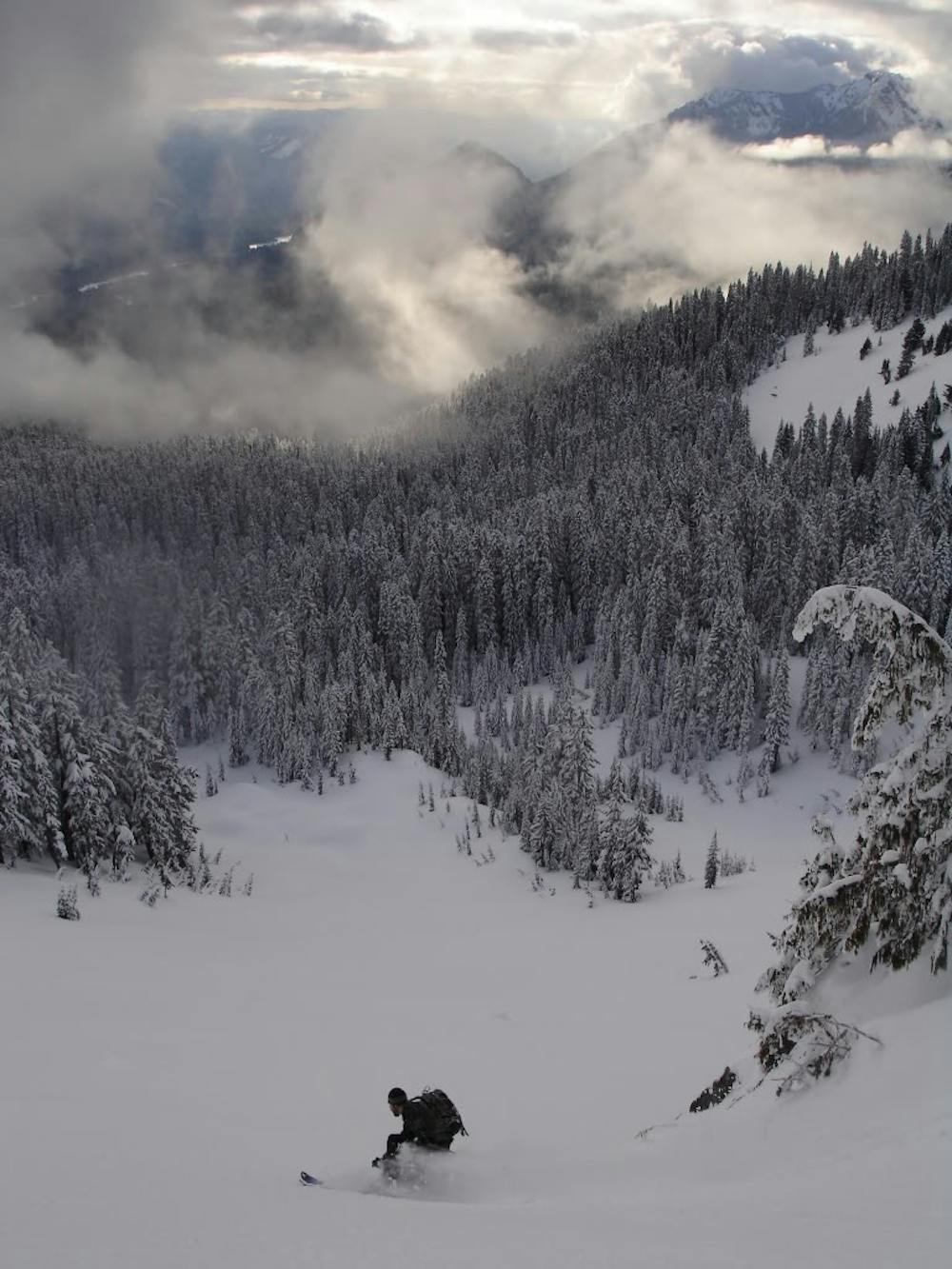
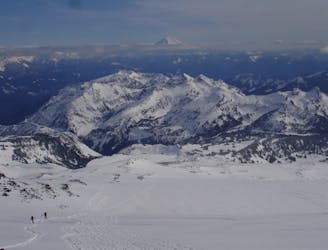
Parking your car at Longmire walk Southeast crossing the Nisqually River on a bridge before arriving at the Eagle Peak Trailhead. Follow the trail up some stunning old growth forests. At 5,100 feet you will hit your first alpine section where you need to head East staying in the basin and wrapping underneath Chutla Peak. Before long you will be dealing with a semi nasty sidehill wrapping around the Southwest side before gaining elevation to make it up to the high col. Now drop into the Eastern slopes and finally you are at the base of Wahpenyo Peak.
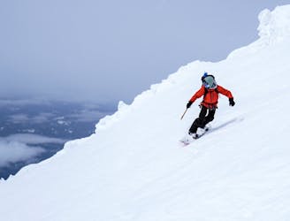
Climbing up Wahpenyo Peak is relatively easy making your way Southeast to a tree covered ridge which gently climbs up the slope. Before long you will reach the upper basin but by heading to the Eastern side you can find some steep trees that give access to the summit ridge. From here just head west and in a little bit of time will be standing on the summit. Now you can ride down the northwest slopes all the way back to where you transitioned.
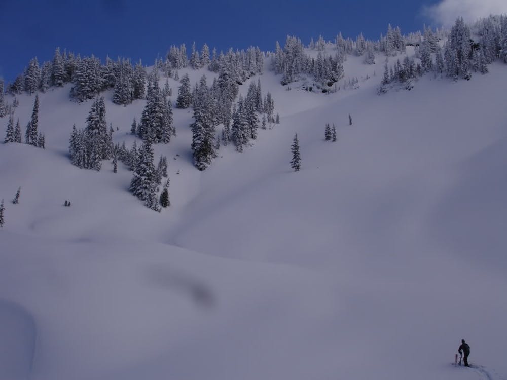
Exiting Whapenyou Peak just retrace your approach by heading West up and over the low col. Then you need to do the long skiers right back to the Eagle Peak Trail. Once back in the forests if the snowpack is deep you can ride fall line as far as the snow allows. As the snow starts to thin out just do a traverse to the skiers left of the main gully and you will be back on the Eagle Peak trail and down climb back to Longmire.
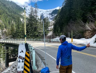
To see my trip in the area and more photos check out this link https://www.whereiskylemiller.com/mt-rainier/wahpenayo-peak/
Moderate
Slopes become slightly steeper at around 25-30 degrees.

As well as the slope itself, there are some obstacles (such as rock outcrops) which could aggravate injury.

Little chance of being seen or helped in case of an accident.
4.3 km away
A south facing alternative to the Paradise Visitor Center
Moderate Ski Touring
4.4 km away
One of the more straightforward ski descents on Mount Rainier
Difficult Ski Touring
6 km away
Great north facing tree skiing in the Tatoosh Range
Moderate Ski Touring
6.1 km away
A great north facing basin within the Tatoosh Range
Moderate Ski Touring
6.1 km away
A Small Traverse Through the Middle of the Tatoosh Range
Difficult Ski Touring
6.9 km away
The Birthplace of Turns All Year
Moderate Ski Touring
7 km away
One of the longest continuous ski descents in the continental US!
Severe Ski Touring
7 km away
One of the most classic and longest ski descents in North America!
Severe Ski Touring
7.3 km away
A 4 day traverse through Mount Rainier National Park
Difficult Ski Touring
7.4 km away
A stunning Southwest-facing line onto the Nisqually Glacier
Moderate Ski Touring

9 routes · Ski Touring
6 routes · Ski Touring

11 routes · Ski Touring