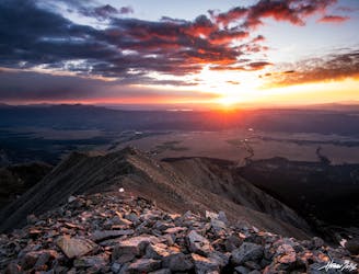
Midland Hill
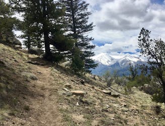
A remarkably beautiful hike beginning in downtown Buena Vista.
Severe Hiking
- Distance
- 7.8 km
- Ascent
- 517 m
- Descent
- 517 m
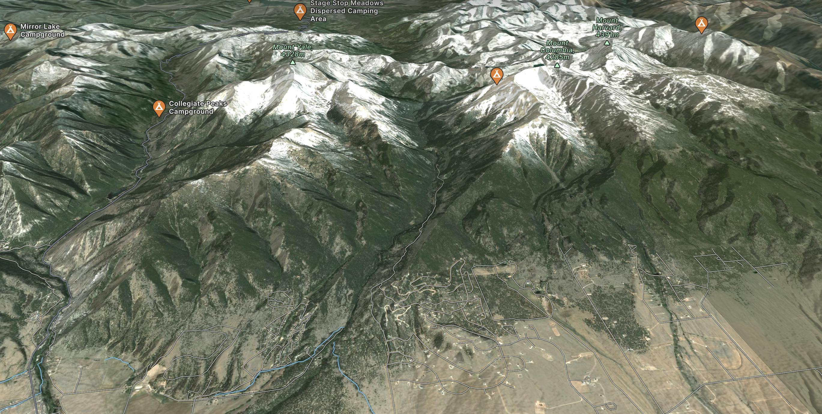
Explore Buena Vista with curated guides of the best hiking trails, mountain bike trails, and more. With over 62 3D trail maps in FATMAP, you can easily discover and navigate the best trails in Buena Vista.
No matter what your next adventure has in store, you can find a guide on FATMAP to help you plan your next epic trip.
Get a top trail recommendation in Buena Vista from one of our 18 guidebooks, or get inspired by the 62 local adventures uploaded by the FATMAP community. Start exploring now!

A remarkably beautiful hike beginning in downtown Buena Vista.
Severe Hiking
486 miles (782 kilometres) of trekking through some of the finest and wildest scenery in the United States.
Difficult Hiking
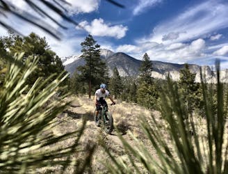
The best high-desert singletrack trails in Buena Vista (as of 2018) combined into one ride.
Difficult Mountain Biking
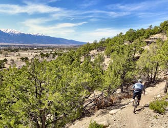
A long segment of the Colorado Trail running along the west side of the Arkansas Valley that provides flowy singletrack punctuated by steep climbs and descents.
Difficult Mountain Biking
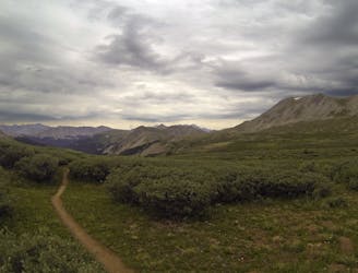
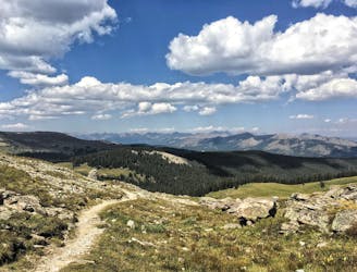
Traverse the Continental Divide Trail above 12,000 feet and enjoy historic sites and high-alpine lakes.
Moderate Mountain Biking

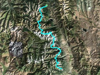
The northbound FKT route of the Nolan's 14 in Colorado's Sawatch Range.
Extreme Trail Running

One of the most famous stretches of whitewater in Colorado.
Severe Kayaking
Baldwin gulch road (277) to the Baldwin lakes
Moderate Hiking
Winter variation up the East Ridge of Mount Yale
Difficult Alpine Climbing

Technical moto trails in Arnold Gulch
Severe Mountain Biking

Steep, old school trails in the Whipple system.
Difficult Mountain Biking
Traditional East Slopes Route to the Summit of Mount Princeton
Easy Alpine Climbing
14 14ers, no cars allowed
Difficult Trail Running

One of the most famous stretches of whitewater in Colorado.
Severe Rafting