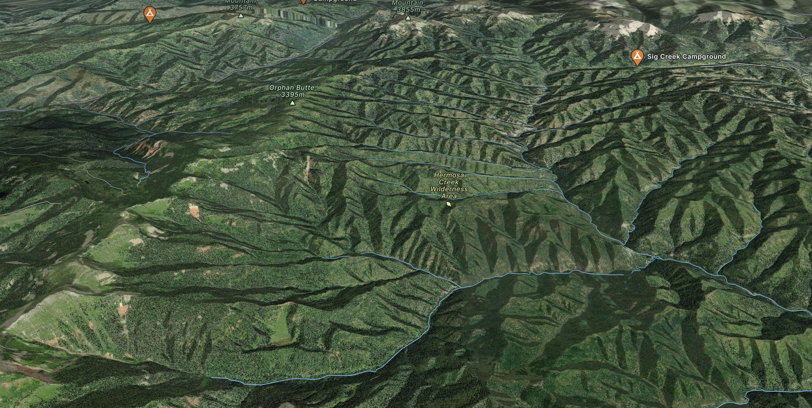
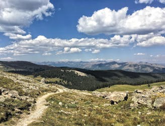
CDT: Wolf Creek Pass (US-160) to Stony Pass
A remote and notable portion of the CDT that lies mostly above the treeline through a remote wilderness area.
Difficult Hiking
- Distance
- 133 km
- Ascent
- 5.5 km
- Descent
- 5 km
Go hiking in Durango with curated guides of the best hikes across the region. With over 98 3D trail maps in FATMAP, you can easily discover and navigate the best trails in Durango.
No matter what your next adventure has in store, you can find a guide on FATMAP to help you plan your next epic trip.
Get a top hiking trail recommendation in Durango from one of our 15 guidebooks, or get inspired by the 98 local adventures uploaded by the FATMAP community. Start exploring now!
A remote and notable portion of the CDT that lies mostly above the treeline through a remote wilderness area.
Difficult Hiking
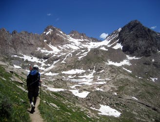
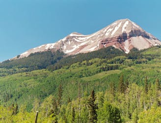
A two-peak combo deep in the Weminuche Wilderness featuring one of Colorado's most technical 14ers.
Extreme Hiking
Climb two of Colorado's most remote 14ers, hidden deep in the Weminuche Wilderness.
Extreme Hiking
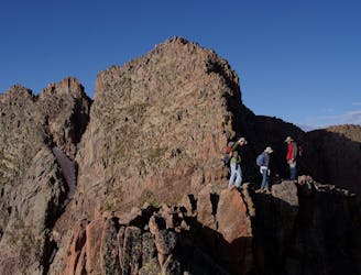
This out-and-back climbs the slopes of Engineer Mountain and rewards with high-altitude wildflowers, views of a rare rock glacier, and a technical summit ridge.
Extreme Hiking
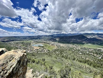
Quick hike to a great view of Durango.
Difficult Hiking

An alternative approach to the Needleton trailhead.
Difficult Hiking
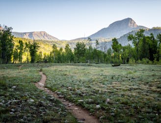
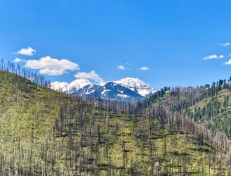
A beautiful fall hike with stunning views from the top of the ridge.
Difficult Hiking
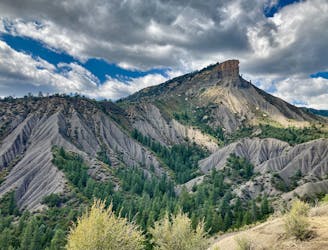
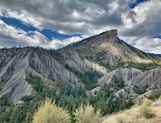
Hike to one of the most visually-distinctive peaks above Durango.
Moderate Hiking
A quick hike offering up stunning views.
Moderate Hiking
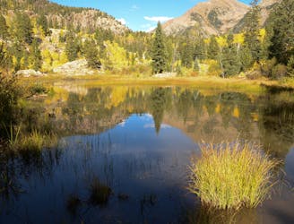
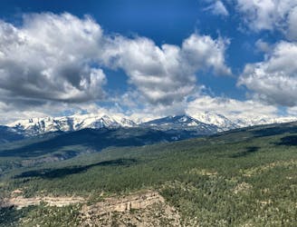
A scenic hike at any time of the year!
Difficult Hiking
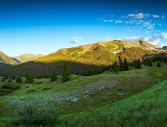
A stunning alpine traverse hike.
Difficult Hiking
Climb the dramatic Hogsback Ridge.
Difficult Hiking
Possibly Durango's most popular hike.
Difficult Hiking
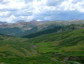
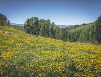
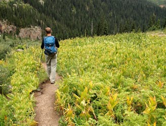
Traverse a stunning, isolated mountain valley.
Moderate Hiking
Climb 7 miles to reach your basecamp in the Chicago Basin.
Difficult Hiking
486 miles (782 kilometres) of trekking through some of the finest and wildest scenery in the United States.
Difficult Hiking