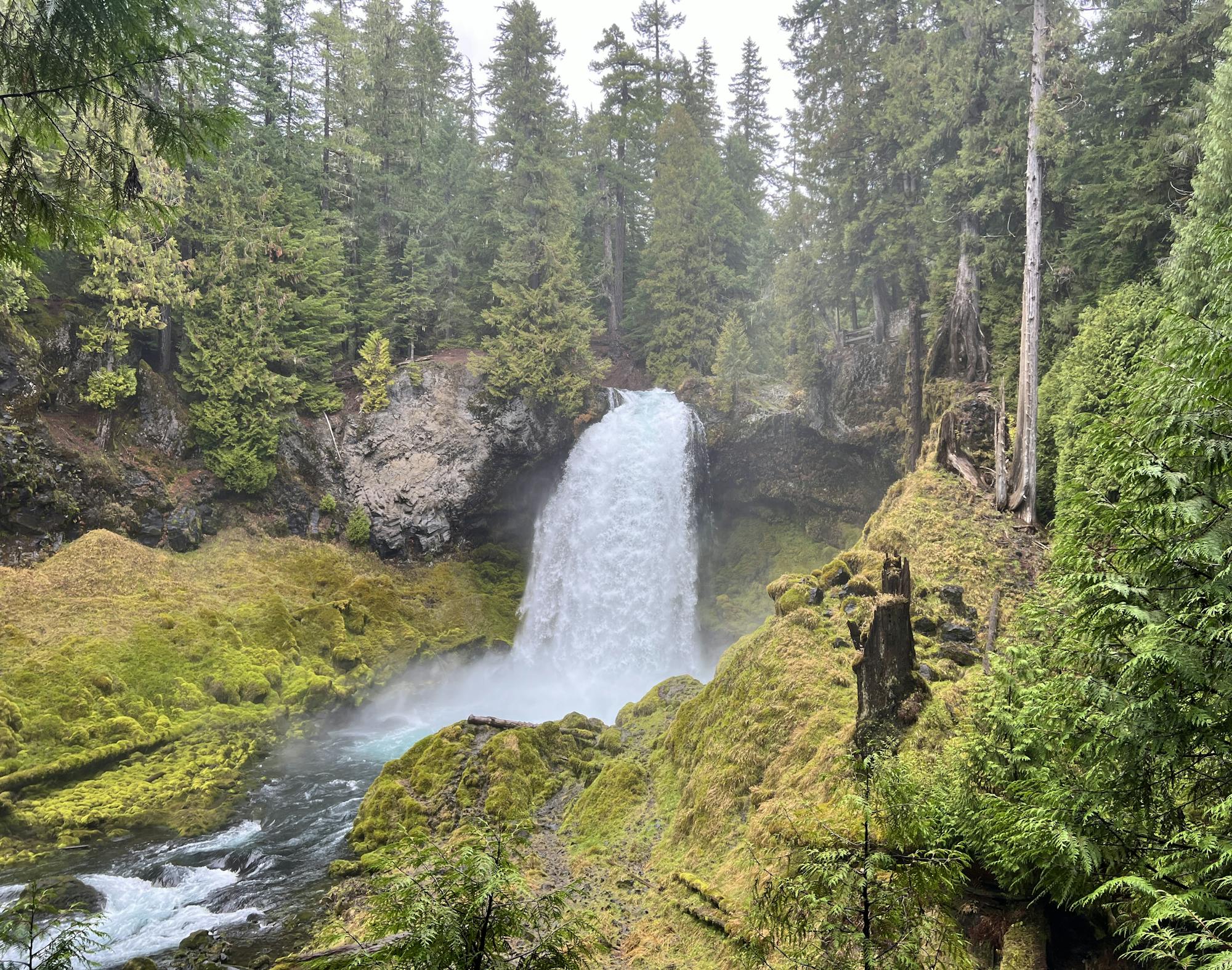
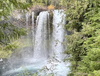
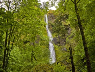
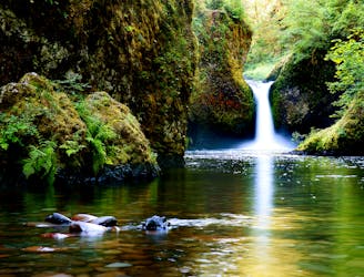
Sahalie Falls and Koosah Falls Out-and-Back
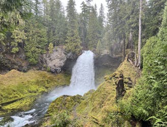
This short but sweet hike offers spectacular views of two of Oregon's most beautiful waterfalls.
Moderate Hiking
- Distance
- 1.4 km
- Ascent
- 51 m
- Descent
- 51 m
Go hiking in Oregon with curated guides of the best hikes across the region. With over 303 3D trail maps in FATMAP, you can easily discover and navigate the best trails in Oregon.
No matter what your next adventure has in store, you can find a guide on FATMAP to help you plan your next epic trip.
Get a top hiking trail recommendation in Oregon from one of our 57 guidebooks, or get inspired by the 303 local adventures uploaded by the FATMAP community. Start exploring now!
This short but sweet hike offers spectacular views of two of Oregon's most beautiful waterfalls.
Moderate Hiking
This spectacular loop hike offers a multitude of views of two of Oregon's most beautiful waterfalls.
Moderate Hiking
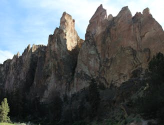
Hike around some extraordinary rock features, including the famous Monkey Face!
Moderate Hiking
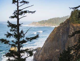
An iconic Oregon Coast hike with stunning views from elevated sea cliffs.
Difficult Hiking

Climb the highest point of the Columbia River Gorge.
Difficult Hiking
You'll get to enjoy not just one, not just two, but *four* incredible waterfalls on this short walk!
Moderate Hiking
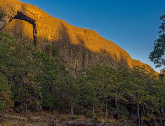
Arches are rare in this area of the nation, making Catherine Creek Arch a highly attractive destination.
Easy Hiking
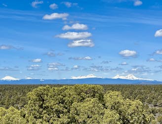
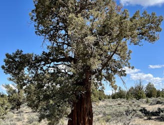
Tag two of the most impressive rock formations in the Oregon Badlands Wilderness.
Easy Hiking
A flat hike leads to incredible views from an upthrust volcanic rock.
Easy Hiking
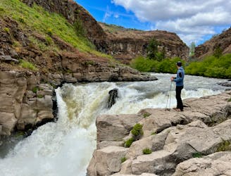
Short hike to view an incredible waterfall tucked away in a desert canyon.
Moderate Hiking
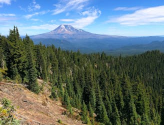
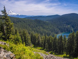
Miles 2146.9-2228.9 of the northbound PCT: Starting the trek into Washington with a prolonged climb from the Columbia River, then a rolling meander through forested hills to the foot of Mount Adams.
Moderate Hiking
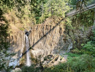
Beautiful waterfall with a stunning suspension bridge above.
Easy Hiking
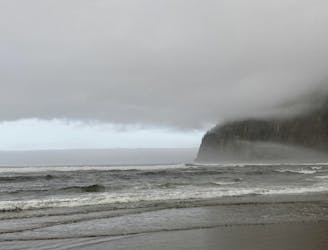
A short, steep hike down to an isolated beach
Difficult Hiking
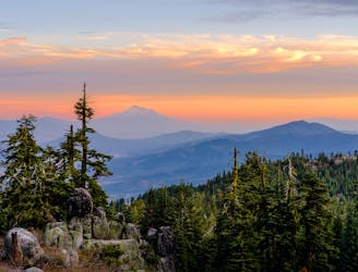
Miles 1655.9-1718.9 of the northbound PCT: The final big climb from a Northern California valley, then along a panoramic ridge to cross into Oregon.
Difficult Hiking
A popular trail beside jaw-dropping waterfalls, recently reopened following a fire.
Moderate Hiking
Miles 2114.2-2146.9 of the northbound PCT: Finishing the state of Oregon with a winding ridge walk, then a grueling descent to the Columbia River at the Washington border, and the lowest elevation on the PCT.
Difficult Hiking