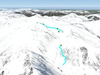
Hike and Ride Grübelspitze to Juns

Hike and Ride Route in the area of Eggalm. Bus ride back required
Difficult Freeride Skiing
- Distance
- 4 km
- Ascent
- 204 m
- Descent
- 992 m
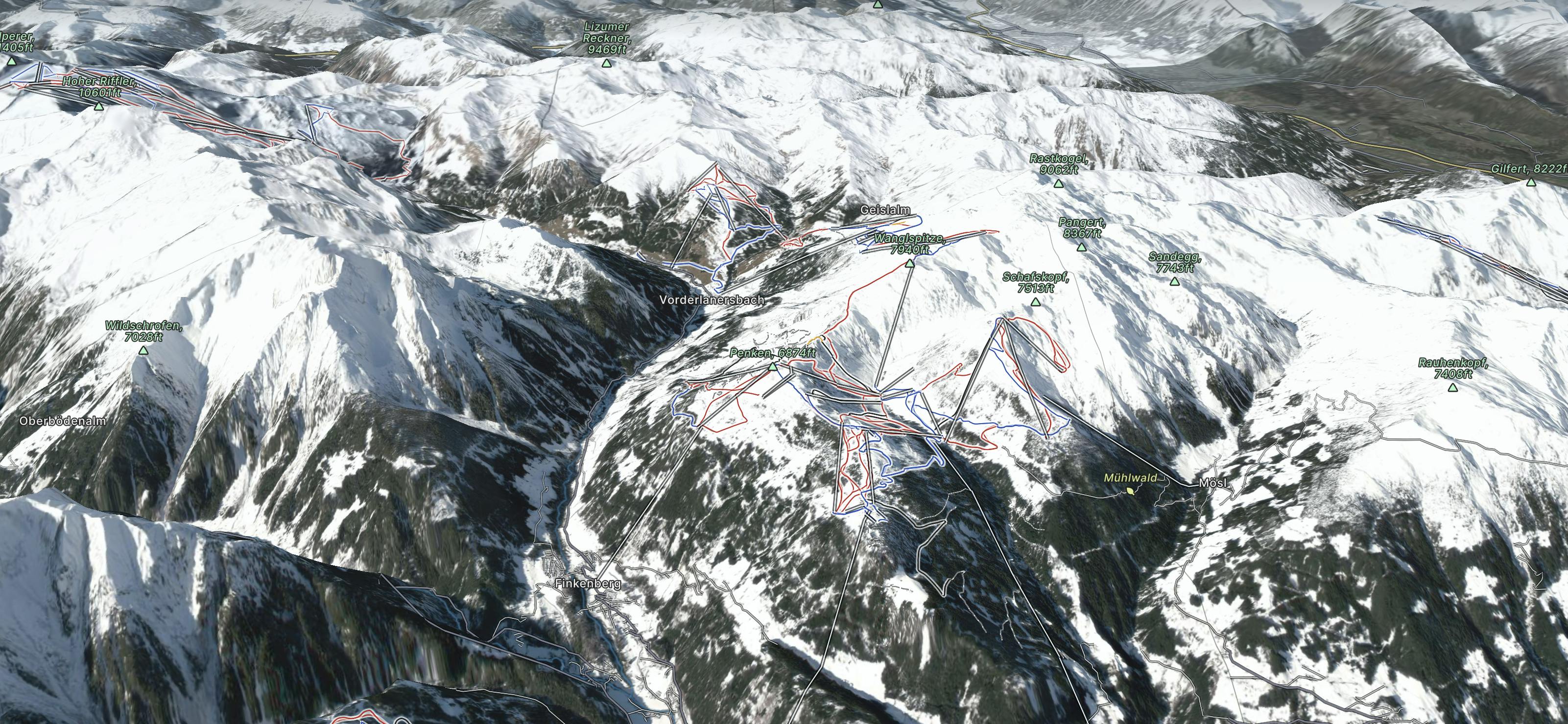
Go Freeride in Mayrhofen Hippach with curated guides of the best routes across the region. With over 22 3D trail maps in FATMAP, you can easily discover and navigate the best routes in Mayrhofen Hippach.
No matter what your next adventure has in store, you can find a guide on FATMAP to help you plan your next epic trip.
Get a top Freeride recommendation in Mayrhofen Hippach from one of our 14 guidebooks, or get inspired by the 22 local adventures uploaded by the FATMAP community. Start exploring now!
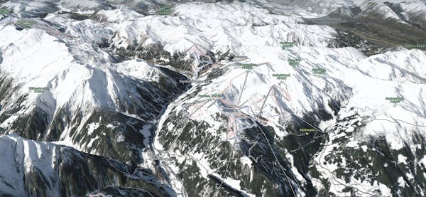
Hike and Ride Route in the area of Eggalm. Bus ride back required
Difficult Freeride Skiing

Freeride route with 300m of easily accessible powder,
Difficult Freeride Skiing

Short powder run, easy on sunny days and usually safe on foggy ones.
Moderate Freeride Skiing

A spectacular run on the E face of Wanglspitz
Severe Freeride Skiing

Steep challenging couloirs for experts only.
Extreme Freeride Skiing
Long and delightful route down the Horberg Valley
Difficult Freeride Skiing

Delightful ride from Wanglspitz onto its' North face into the Hoarbergkar
Difficult Freeride Skiing

Beautiful route on the Beilspitz NW face
Difficult Freeride Skiing

7 routes · Freeride Skiing
6 routes · Freeride Skiing

10 routes · Freeride Skiing

10 routes · Freeride Skiing