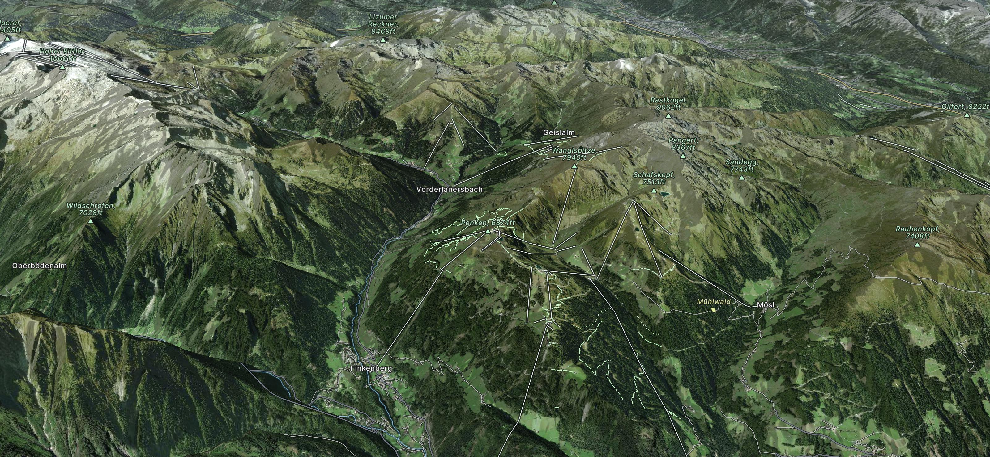
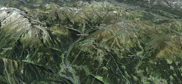
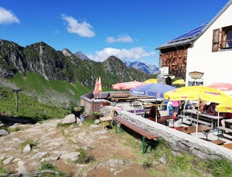
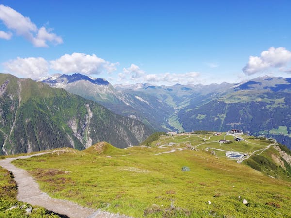
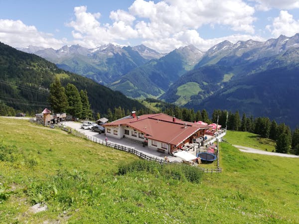
Wanglspitze
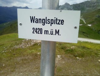
A fun little peak with exceptional views.
Moderate Hiking
- Distance
- 10 km
- Ascent
- 522 m
- Descent
- 522 m
Go hiking in Mayrhofen Hippach with curated guides of the best hikes across the region. With over 22 3D trail maps in FATMAP, you can easily discover and navigate the best trails in Mayrhofen Hippach.
No matter what your next adventure has in store, you can find a guide on FATMAP to help you plan your next epic trip.
Get a top hiking trail recommendation in Mayrhofen Hippach from one of our 14 guidebooks, or get inspired by the 22 local adventures uploaded by the FATMAP community. Start exploring now!
A fun little peak with exceptional views.
Moderate Hiking
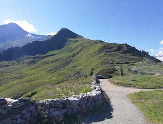
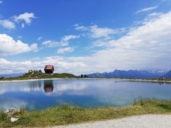
A gorgeous, easy stroll along a famous ridge line.
Moderate Hiking
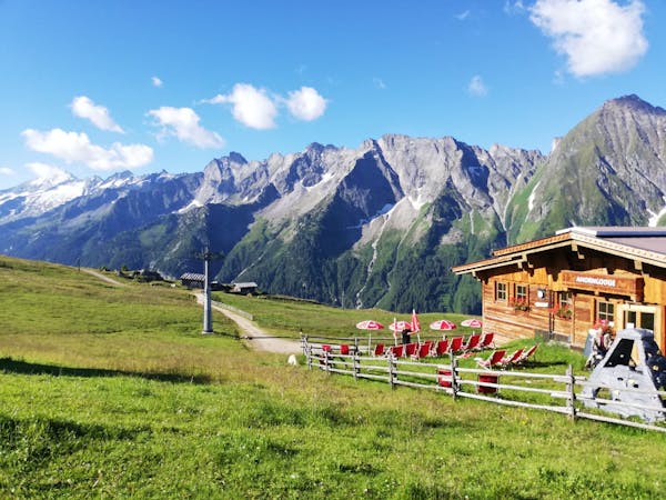
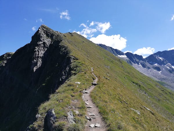
A wonderful, high mountain loop to a popular hut.
Difficult Hiking
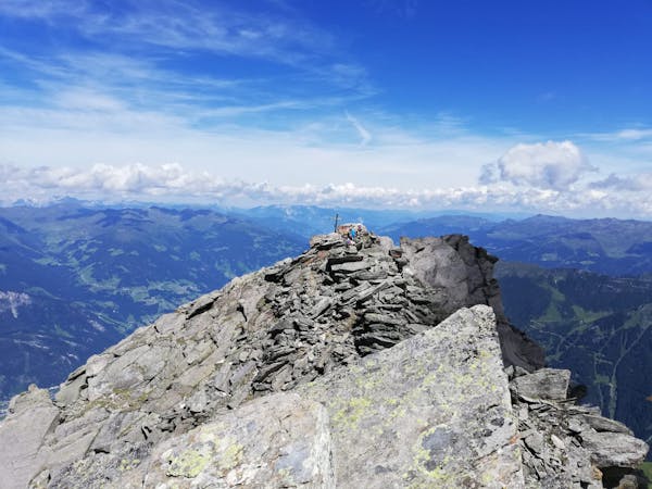
An easy and popular summit which offers breathtaking views
Moderate Hiking
A beautiful, buggy-friendly hike suitable for kids of all ages.
Easy Hiking

Hut to hut hike, some stages of the Inntaler Hohenweg, easy and nice
Moderate Hiking
5 routes · Hiking
3 routes · Hiking
3 routes · Hiking
6 routes · Hiking
8 routes · Mountain Biking · Hiking · Road Biking

25 routes · Hiking
8 routes · Mountain Biking · Hiking · Road Biking