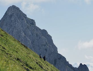
Aiguille de Varan par le Couloir Chapleu et le Col de Barmerousse
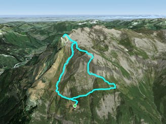
Magnifique randonnée bien qu'exigeante, technique et exposée
Difficult Hiking
- Distance
- 7 km
- Ascent
- 1.1 km
- Descent
- 1.1 km
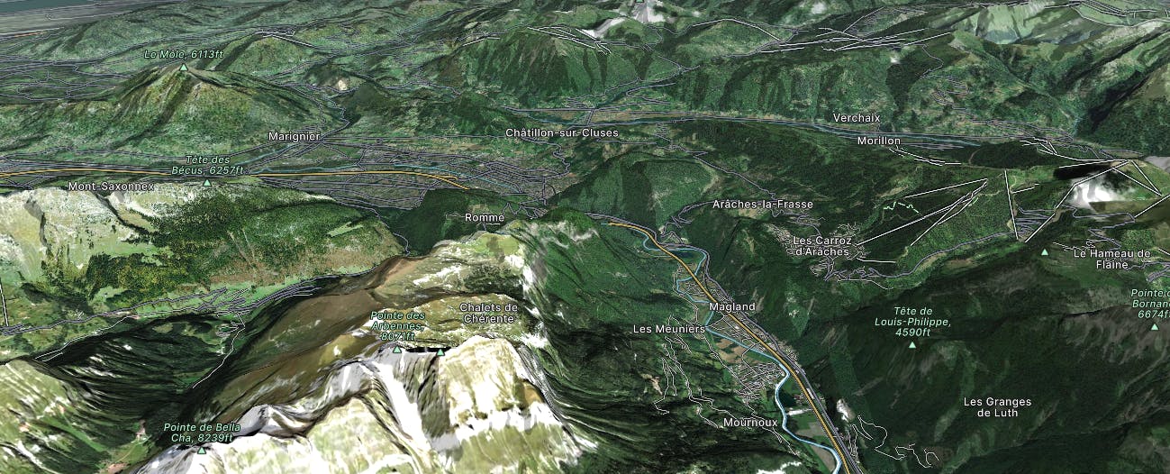
Go hiking in Arve Valley with curated guides of the best hikes across the region. With over 110 3D trail maps in FATMAP, you can easily discover and navigate the best trails in Arve Valley.
No matter what your next adventure has in store, you can find a guide on FATMAP to help you plan your next epic trip.
Get a top hiking trail recommendation in Arve Valley from one of our 23 guidebooks, or get inspired by the 110 local adventures uploaded by the FATMAP community. Start exploring now!
Magnifique randonnée bien qu'exigeante, technique et exposée
Difficult Hiking

Traversée de la Haute-Savoie et de la Savoie par l'Est, de Saint-Gingolph à Modane
Severe Hiking
A wild walk along a beautiful ridgeline to arguably the summit with the best view in the area
Difficult Hiking
A long but very rewarding day from the often busy but never tiring Chamonix classic Lac Blanc to the home comforts of the refuge and quieter side of the area
Difficult Hiking

Tour de Roselend J2
Difficult Hiking

Jims 50 års gavekort
Moderate Hiking
Lac de lessy and Aiguille verte from the parking of paradis
Moderate Hiking

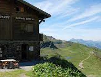
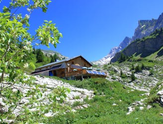
Route up to Refuge de La Vogealle from Cirque du Fer-à-Cheval via Chalet du Boret
Difficult Hiking

2 exciting Cols (Ossans & Ours) and 2 favourite huts (Bonaveau & Vogealle)
Extreme Hiking

Long approach for Arate climb with no need to stay overnight in the Hut.
Moderate Hiking
by Raphael Garagnon
Moderate Hiking

A wonderful summit of the Massif des Bornes !
Moderate Hiking
The trek back from the refuge de Sales back down to the Chalet du Lignon
Moderate Hiking

Hiking route from Chamonix to Zermatt
Difficult Hiking
Boucle familiale au refuge de Bostan
Moderate Hiking
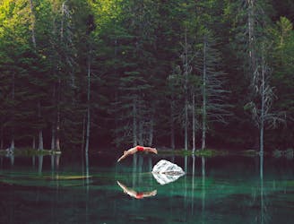
Steep little hike to peaceful, green lake
Moderate Hiking