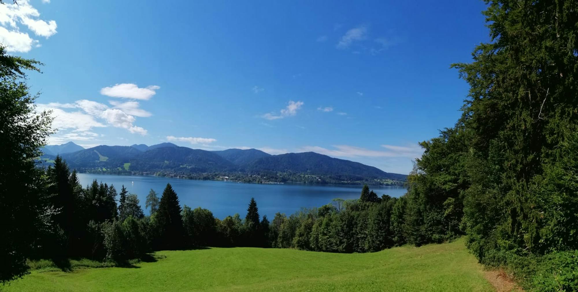
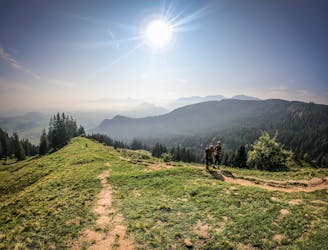
Stolzenberg - Rosskopf

Very divers hike with a wounderful view
Moderate Hiking
- Distance
- 9.1 km
- Ascent
- 658 m
- Descent
- 657 m
Explore Bayern with curated guides of the best hiking trails, ski routes, and more. With over 76 3D trail maps in FATMAP, you can easily discover and navigate the best trails in Bayern.
No matter what your next adventure has in store, you can find a guide on FATMAP to help you plan your next epic trip.
Get a top trail recommendation in Bayern from one of our 7 guidebooks, or get inspired by the 76 local adventures uploaded by the FATMAP community. Start exploring now!
Very divers hike with a wounderful view
Moderate Hiking

Short very but very beoutiful Hike
Easy Hiking

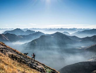
Relaxed hike with some beautiful views an some small sumit posibilityes
Moderate Hiking

Einfache Wanderung auf anspruchslosen wegen
Easy Hiking

A nice Bike Ride through the Forest
Moderate Mountain Biking
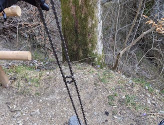
A nice roundtrack with almost a bit Downhill Feeling (sorry only took one pic of my broken chain)
Moderate Mountain Biking
Nice and little extended Tour with lots of possibilities
Moderate Ski Touring
Nice and short Tour with save conditions.
Easy Ski Touring

Technical ski touring route for safe avalanche conditions
Difficult Ski Touring

The ski route from the Zugspitze Bahn to the Ehrwalder Alm Bahn including border crossing and monument (Lely)
Difficult Ski Touring

Ski Route to the top of the Alpspitze near Garmisch via the ferrata
Severe Ski Touring
An easy round tour up to Kappeler Alm and Hundeleskopf
Easy Hiking
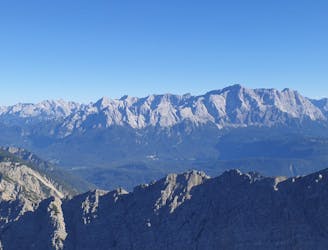
This relatively easy hike rewards you with a clear view of the Eibsee and the Zugspitze.
Moderate Hiking

A mixed bike tour of gravel, trail and road!
Easy Gravel Biking
A popular, easy and classic hike up Wertacher Hörnle
Easy Hiking
A perfect German mountain tour
Moderate Hiking