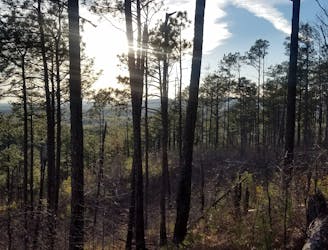
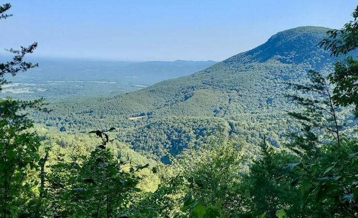
Pinhoti Trail: Cheaha State Park to FS-500
A beautiful segment of the Pinhoti showcasing Alabama's diverse terrain.
Difficult Hiking
- Distance
- 40 km
- Ascent
- 1.2 km
- Descent
- 1.6 km
The Pinhoti Trail is one of the Southeast's best-kept hiking secrets.
Hiking Moderate, Difficult
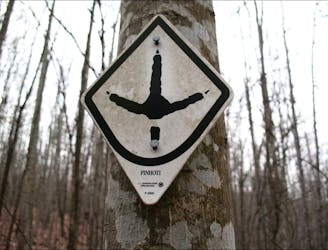
The word “pinhoti” "derives from the Creek Indian word meaning ‘turkey home,'” according to HikeAlabama.org. The word has been adopted as the name for a long distance hiking trail through Georgia and Alabama, and the turkey’s footprint serves as the trail’s blaze.
The Pinhoti trail measures 335 miles long and runs from Flagg Mountain in Alabama on its southern end to a junction with the Benton MacKaye trail in North Georgia. While eventually the plan is to provide a continuous singletrack trail, there is still some road walking required to connect the entire Pinhoti. In this guidebook, we display all the singletrack portions of the trail. How you navigate between them is entirely up to you, although there are generally agreed upon road walking segments.
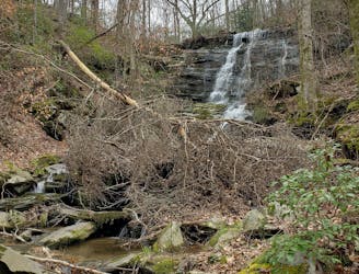
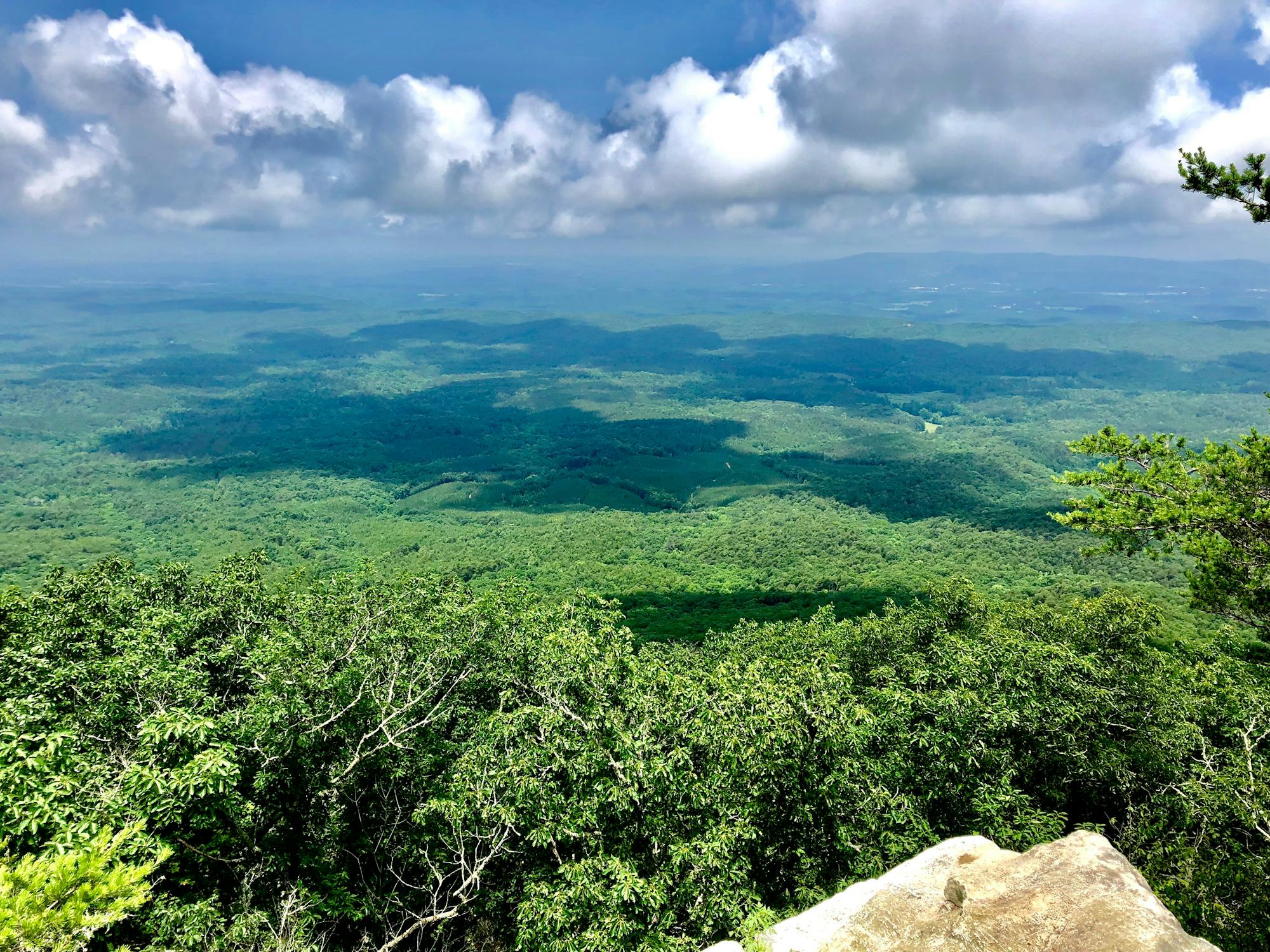
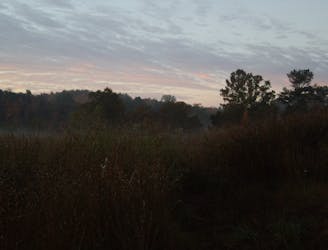
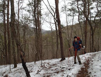
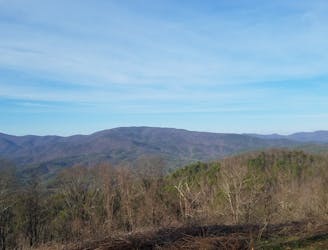
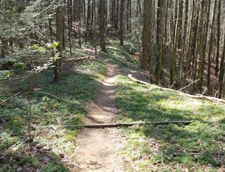
The singletrack portions of the trail run through some of the wildest country in Alabama and Georgia. The terrain is hilly and steep, the woods deep and lush. The section of the trail in the Talladega National Forest is especially wild, running through dark forests in a designated Wilderness area. This section has also been designated as a national scenic trail.
A beautiful segment of the Pinhoti showcasing Alabama's diverse terrain.
Difficult Hiking
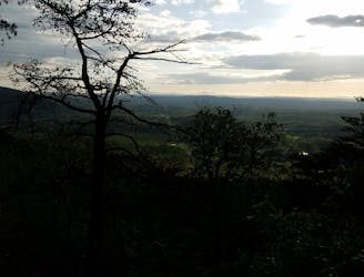
Two long ridgetop traverses on one of the southernmost segments of the Pinhoti.
Moderate Hiking
A deceptively-challenging segment of the Pinhoti ending at Alabama's high point.
Difficult Hiking
A relentless segment of the Pinhoti perfect for an overnight trip.
Difficult Hiking
The Pinhoti as it traverses the Dugger Mountain Wilderness.
Difficult Hiking
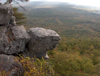
A series of rocky ridge traverses with excellent views—perfect for day hiking.
Difficult Hiking
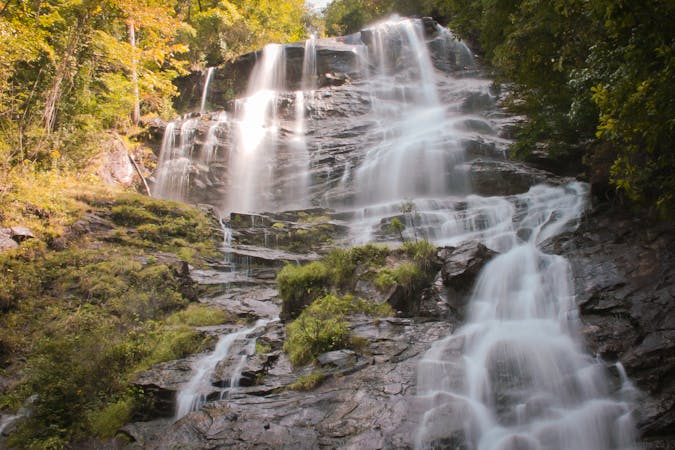
A segment of the Pinhoti known for the overlook atop Johns Mountain and the visit to Keown Falls.
Difficult Hiking
A easier, yet remote, segment of the Pinhoti, with plenty of access points.
Moderate Hiking
The Pinhoti Trail as it enters the Cohutta Mountains.
Difficult Hiking
The northernmost segment of the Pinhoti, terminating at the Benton MacKaye Trail.
Difficult Hiking

58 routes · Hiking
10 routes · Hiking
11 routes · Hiking · Trail Running

10 routes · Hiking