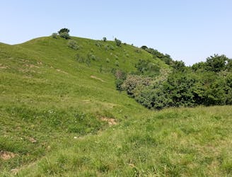
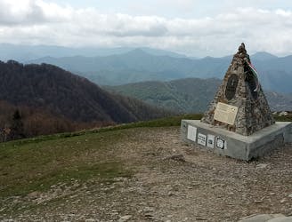
Alta Via Dei Monti Liguri: Passo della Forcella to Passo della Cappelletta
Stage 7 of the magnificent high alpine trail through Liguria.
Difficult Hiking
- Distance
- 51 km
- Ascent
- 2.7 km
- Descent
- 2.6 km
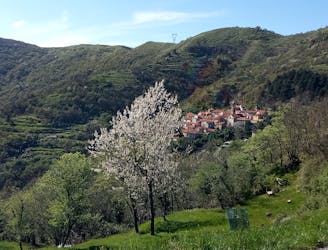
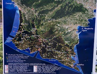
Go hiking in Genova with curated guides of the best hikes across the region. With over 20 3D trail maps in FATMAP, you can easily discover and navigate the best trails in Genova.
No matter what your next adventure has in store, you can find a guide on FATMAP to help you plan your next epic trip.
Get a top hiking trail recommendation in Genova from one of our 1 guidebooks, or get inspired by the 20 local adventures uploaded by the FATMAP community. Start exploring now!
Stage 7 of the magnificent high alpine trail through Liguria.
Difficult Hiking
Stage 6 of the magnificent high alpine trail through Liguria.
Difficult Hiking
Stage 5 of the magnificent high alpine trail through Liguria.
Difficult Hiking

Stage 4 of the magnificent high alpine trail through Liguria.
Difficult Hiking
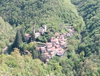
Traversata del monte Antola da Clavarezza a Caprile e ritorno
Moderate Hiking
Escursione facile, impegnativa solo per la lunghezza
Moderate Hiking
salita da Pareto e rientro da Piancassina
Moderate Hiking
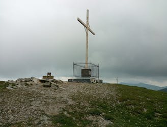
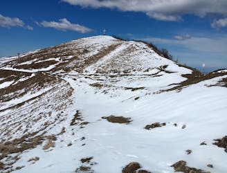
da Mulino Vecchio a Cima Antola
Moderate Hiking
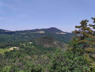
Escursione facile e molto panoramica
Easy Hiking
Percorso su crinale, grande panorama
Easy Hiking
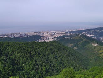
Dall'entroterra al mare, passando diversi tipi di vegetazione
Difficult Hiking
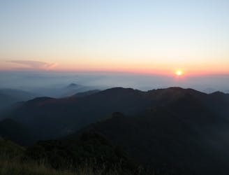
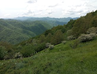
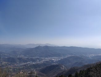
One of the most panoramic routes in Liguria
Severe Hiking

Un percorso medio-semplice ed ad anello, adatto a tutte stagioni con la giusta attrezzatura.
Moderate Hiking
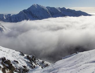
escursione facile (neve primaverile)
Moderate Hiking
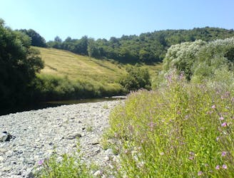
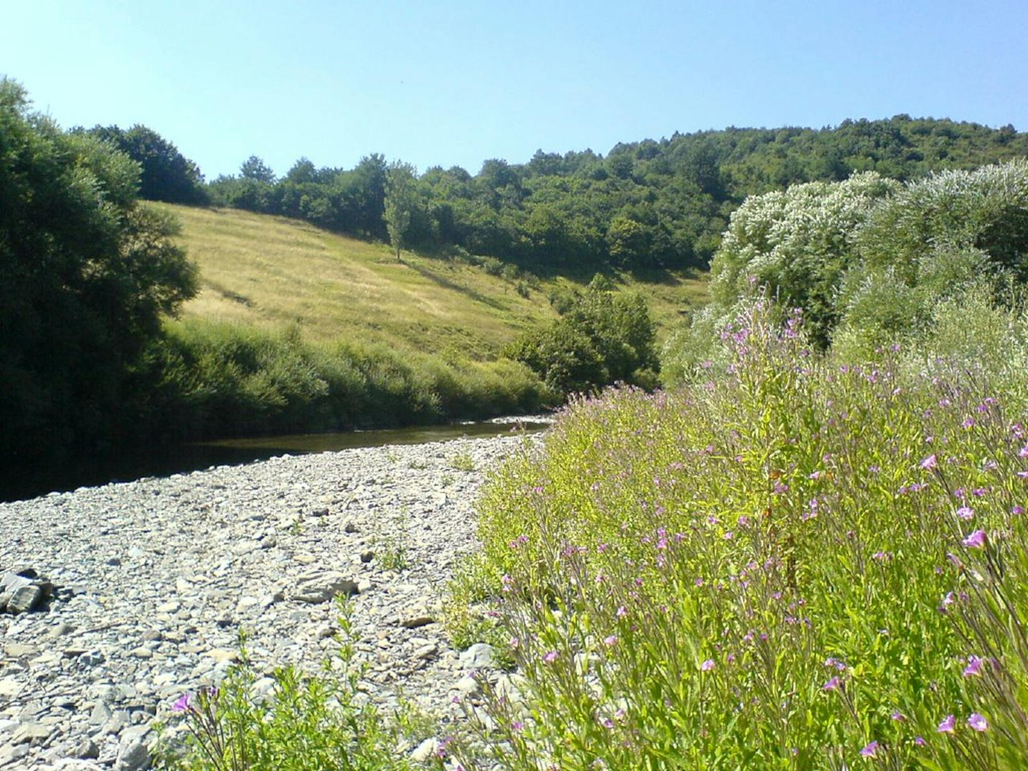
Escursione all'interno del Parco del Beigua lungo il torrente Gargassa
Moderate Hiking
Percorso lungo forti di Quezzi, Forte dei Ratti, cava abbandonata e Forte Richelieu
Difficult Hiking