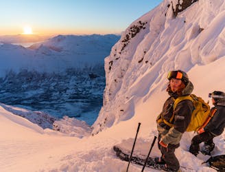
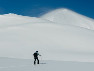
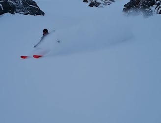
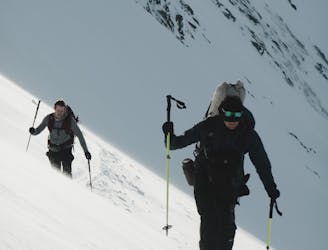
Store Lenangstinden
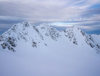
The tallest mountain in northern Lyngen is a true adventure with stunning view
Severe Ski Touring
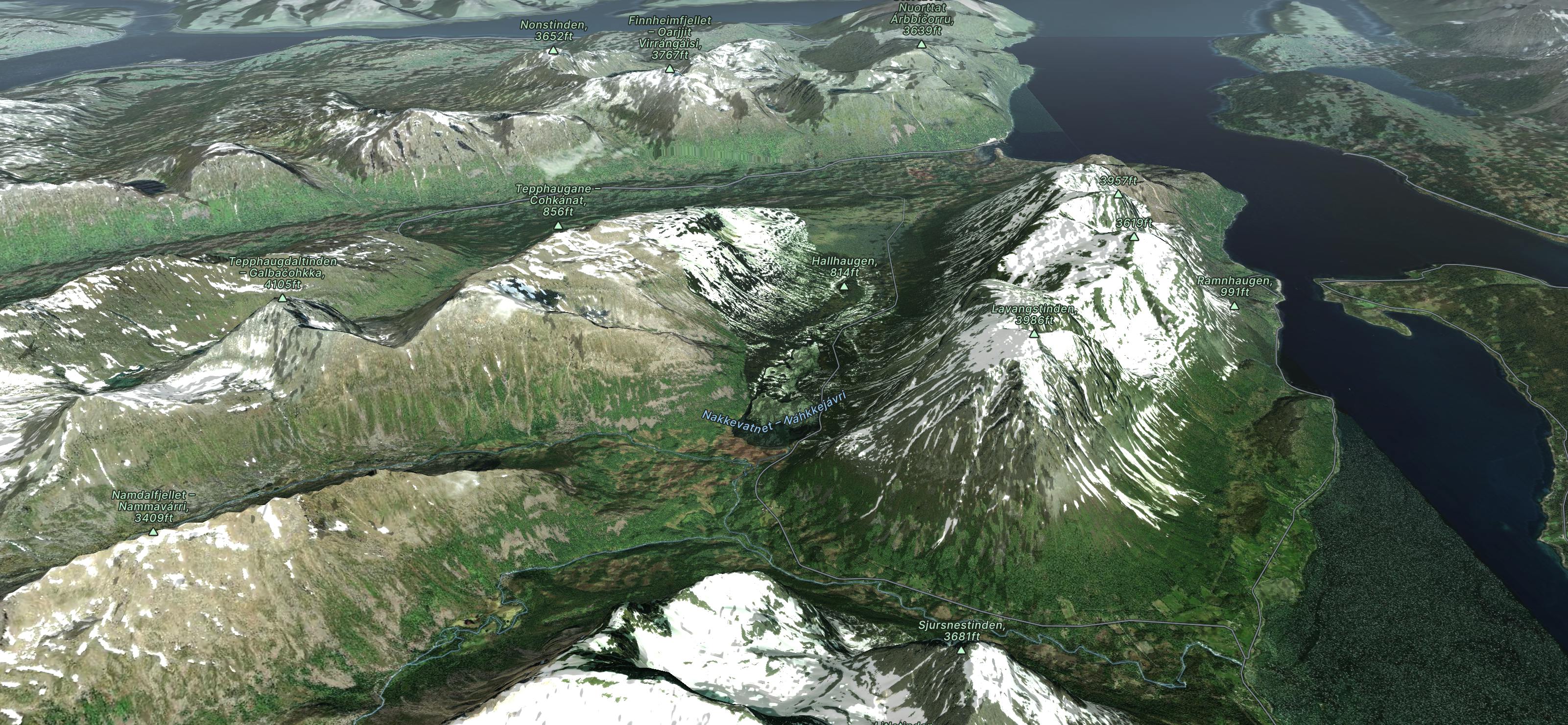
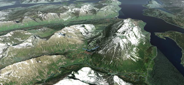
- Distance
- 20 km
- Ascent
- 1.9 km
- Descent
- 1.9 km
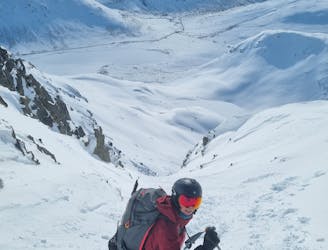
Explore Lyngen with curated guides of the best mountain bike trails, ski routes, and more. With over 136 3D trail maps in FATMAP, you can easily discover and navigate the best trails in Lyngen.
No matter what your next adventure has in store, you can find a guide on FATMAP to help you plan your next epic trip.
Get a top trail recommendation in Lyngen from one of our 12 guidebooks, or get inspired by the 136 local adventures uploaded by the FATMAP community. Start exploring now!
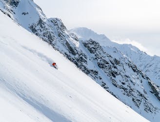
The tallest mountain in northern Lyngen is a true adventure with stunning view
Severe Ski Touring
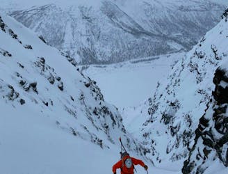
Nice and fun colouir, quite steep and not too narrow, you'll really enjoy your turns in good snow conditions
Difficult Ski Touring
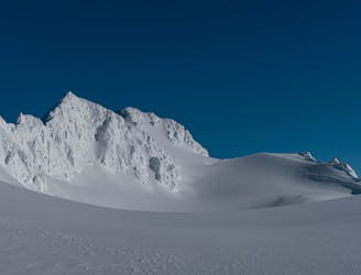
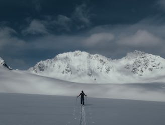
Amazing steep skiing line in the Lakselvtindane massif
Severe Ski Touring
Little brother of Store Lakselvtinden offers fantastic view and joyful skiing
Difficult Ski Touring
Excellent trip with a breathtaking view and superb skiing
Difficult Ski Touring
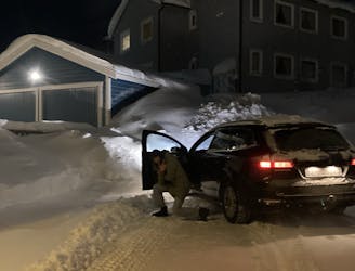
Easy peasy drive with a cool car. Btw how are you?
Extreme Alpine Climbing
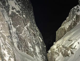
A cool couloir hidden on Kvaløya
Severe Ski Touring

If all other peaks seems horrifying in Lyngen Alps
Easy Ski Touring
Great descent best seen from Kilpisjärvi Finland
Severe Ski Touring
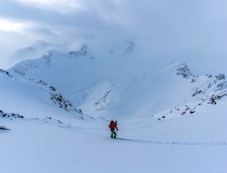
A big glacier trip to the heart of Lyngen
Moderate Ski Touring
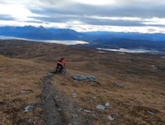
Single track on Fugltinden
Difficult Mountain Biking
A cool couloir on the north side of Ellendaltinden
Difficult Ski Touring
Popular couloir on Kvaløya
Difficult Ski Touring
The longest continuous ski descent in Lyngen
Difficult Ski Touring
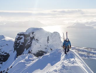
A classic Lyngen ridge traverse on the northern most point of the peninsula
Difficult Ski Touring
The most beautiful peak in Lyngen
Difficult Ski Touring