644 m away
Hafelekar to the Pfeisshütte and Thaurer Alm
A long and beautiful trip which is almost all downhill and stops at 2 traditional mountain huts.
Difficult Hiking
- Distance
- 15 km
- Ascent
- 440 m
- Descent
- 2.1 km
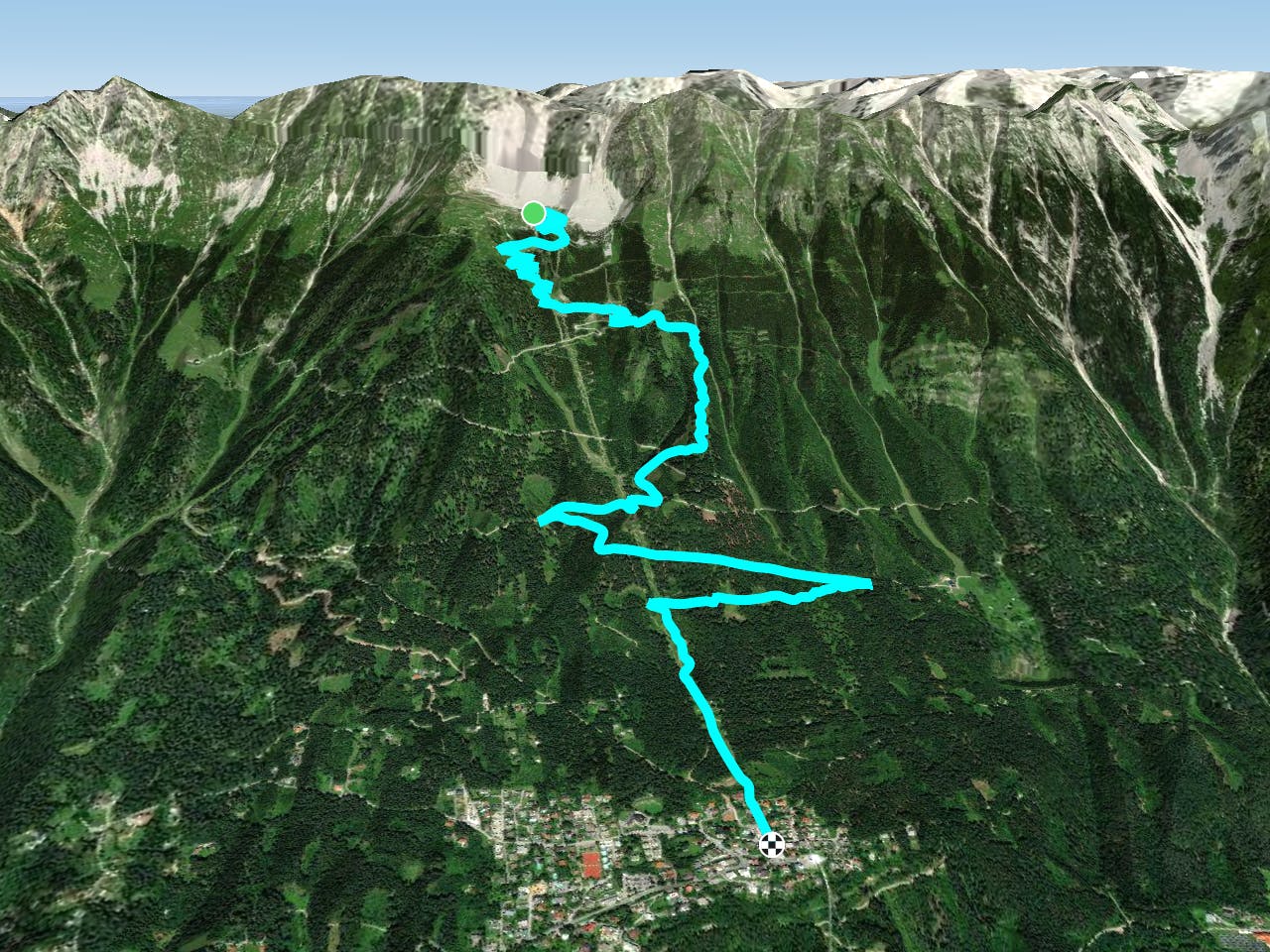
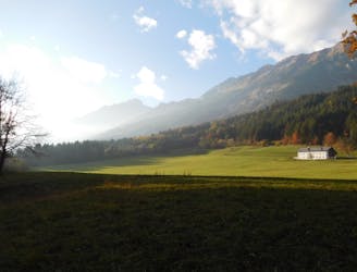
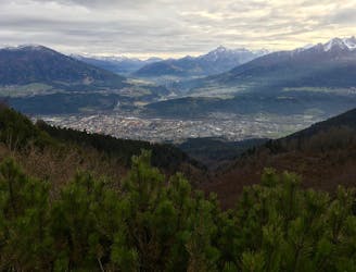
This is a popular hiking route which is generally considered to be moderate. It's an unknown remoteness, it features unknown exposure and is typically done in an unknown time of year. From a low point of 865 m to the maximum altitude of 1.9 km, the route covers 6.7 km, 24 vertical metres of ascent and 1058 vertical metres of descent.
This hike is all downhill one way, and then you pay your debt back on the all-uphill return trip! The hike is all on good trails and in good weather, the sun beats down so wear plenty of suncream!
Moderate
Hiking along trails with some uneven terrain and small hills. Small rocks and roots may be present.
644 m away
A long and beautiful trip which is almost all downhill and stops at 2 traditional mountain huts.
Difficult Hiking
647 m away
A long but incredibly rewarding trip through the Karwendel mountains.
Difficult Hiking
648 m away
A classic Innsbruck hike to a charming mountain hut.
Difficult Hiking
2.7 km away
A lovely, easy traverse to a charming Tirolian town.
Moderate Hiking
2.7 km away
Possibly the most popular hike in Innsbruck and for good reason - this is a lovely little trip.
Moderate Hiking
3.2 km away
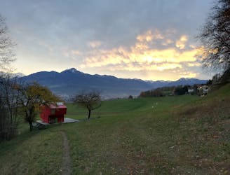
A lovely, sunny walk suitable for the whole family.
Moderate Hiking
3.5 km away
A beautiful easy hike to a sunny vantage point above Innsbruck.
Easy Hiking
4.2 km away
A steep and strenuous hike to one of the best situated huts in Tirol.
Difficult Hiking
5 km away

Sophisticated alpine hike that offers a great variation of landscapes ending in a ridge with moderate climbing passages.
Severe Hiking
5.5 km away
A gorgeous walk between 2 easily-accessed villages.
Moderate Hiking

8 routes · Hiking

5 routes · Hiking

9 routes · Hiking

6 routes · Hiking

25 routes · Hiking