697 m away
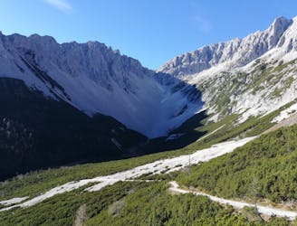
Hafelekar to the Pfeisshütte and Thaurer Alm
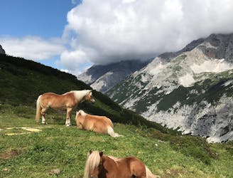
A long and beautiful trip which is almost all downhill and stops at 2 traditional mountain huts.
Difficult Hiking
- Distance
- 15 km
- Ascent
- 440 m
- Descent
- 2.1 km
Auf dem Forstweg von der Seegrube auf die Hungerburg.
Hiking Easy

This is a popular hiking route which is generally considered to be easy. It's not remote, it features low exposure and is typically done between May and October. From a low point of 866 m to the maximum altitude of 1.9 km, the route covers 8 km, 18 vertical metres of ascent and 1056 vertical metres of descent.

Steile und kürzere Alternative: Seilbahnsteig. Dieser führt immer unter der Bahn und auf Höhe der 3-er Stütze über die „Wadlbeißer Stiege“ auf die Hungerburg.
Easy
Walking along a well-kept trail that’s mostly flat. No obstacles are present.

The path is on completely flat land and potential injury is limited to falling over.
Close to help in case of emergency.
697 m away
A long and beautiful trip which is almost all downhill and stops at 2 traditional mountain huts.
Difficult Hiking
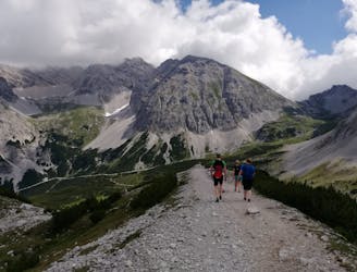
700 m away
A long but incredibly rewarding trip through the Karwendel mountains.
Difficult Hiking
701 m away
A classic Innsbruck hike to a charming mountain hut.
Difficult Hiking
2.7 km away
A lovely, easy traverse to a charming Tirolian town.
Moderate Hiking
2.7 km away
Possibly the most popular hike in Innsbruck and for good reason - this is a lovely little trip.
Moderate Hiking
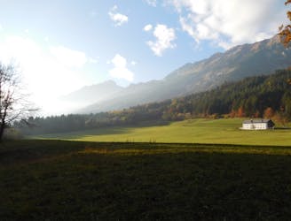
3.2 km away
A lovely, sunny walk suitable for the whole family.
Moderate Hiking
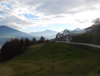
3.5 km away
A beautiful easy hike to a sunny vantage point above Innsbruck.
Easy Hiking
4.2 km away
A steep and strenuous hike to one of the best situated huts in Tirol.
Difficult Hiking
5 km away

Sophisticated alpine hike that offers a great variation of landscapes ending in a ridge with moderate climbing passages.
Severe Hiking
5.6 km away
A gorgeous walk between 2 easily-accessed villages.
Moderate Hiking

8 routes · Hiking

5 routes · Hiking

9 routes · Hiking

6 routes · Hiking

25 routes · Hiking