61 m away
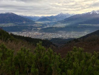
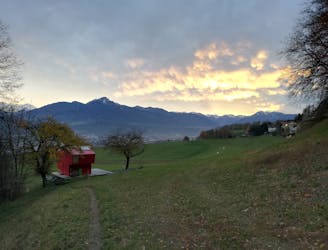
Hungerburg to Hall in Tirol
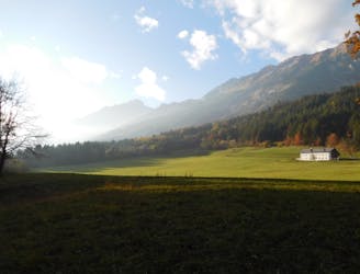
A lovely, easy traverse to a charming Tirolian town.
Moderate Hiking
- Distance
- 14 km
- Ascent
- 304 m
- Descent
- 595 m

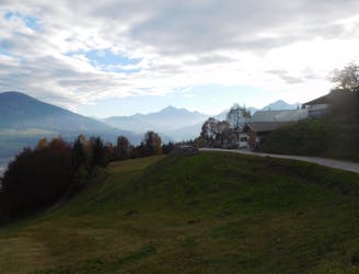
It is possible to hike to Umbruggler Alm (1123 metres) from Innsbruck city centre but most people choose to skip out the urban section of the journey by riding the Hungerburgbahn train from the centre of the city to Hermann Buhl Platz - a small square in the suburb of Höttinger which is 200 metres higher than the main city. The Hungerburgbahn runs from Innsbruck Congress, which lies on the junction between Rennweg and Herzog-Otto Strasse, at the northern end of the city centre. A ticket to Hermann Buhl Platz costs 8 Euros (return) and saves you around 1 hour of walking and 200 metres of height gain. From the Hermann Buhl Platz all that is left is a lovely 35 minute hike (which is uphill throughout), on good and well marked paths through a forest, to Umbruggler Alm.
Easy
Walking along a well-kept trail that’s mostly flat. No obstacles are present.
61 m away
A lovely, easy traverse to a charming Tirolian town.
Moderate Hiking
68 m away
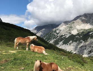
Possibly the most popular hike in Innsbruck and for good reason - this is a lovely little trip.
Moderate Hiking
501 m away
A lovely, sunny walk suitable for the whole family.
Moderate Hiking
2.2 km away
A beautiful easy hike to a sunny vantage point above Innsbruck.
Easy Hiking
2.5 km away
A steep and strenuous hike to one of the best situated huts in Tirol.
Difficult Hiking
3 km away
A long and beautiful trip which is almost all downhill and stops at 2 traditional mountain huts.
Difficult Hiking
3 km away
A classic Innsbruck hike to a charming mountain hut.
Difficult Hiking
3 km away
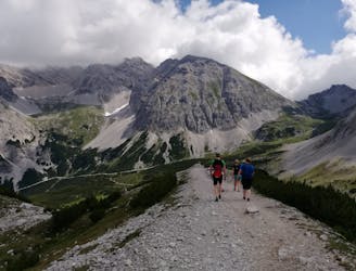
A long but incredibly rewarding trip through the Karwendel mountains.
Difficult Hiking
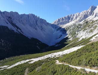
3.4 km away

Sophisticated alpine hike that offers a great variation of landscapes ending in a ridge with moderate climbing passages.
Severe Hiking
3.8 km away
A gorgeous walk between 2 easily-accessed villages.
Moderate Hiking

8 routes · Hiking

5 routes · Hiking

9 routes · Hiking

6 routes · Hiking

25 routes · Hiking