0 m away
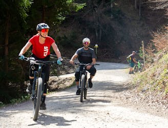
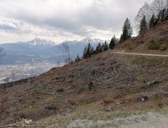
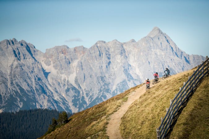
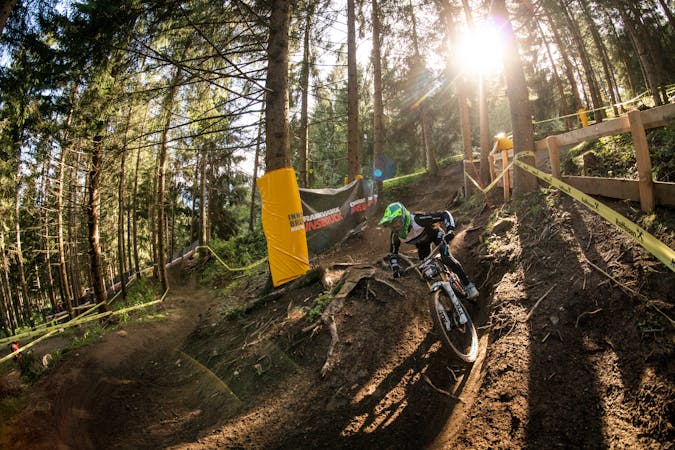
Arzler Alm Single Trail
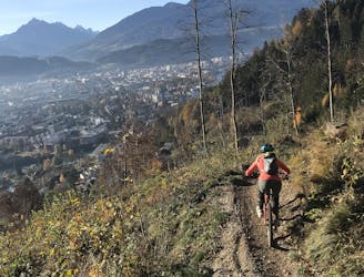
The longest single trail in Innsbruck - enjoy the breathtaking view in between a feature and the next one.
Difficult Mountain Biking
- Distance
- 3.9 km
- Ascent
- 9 m
- Descent
- 470 m
A classic on Innsbruck's doorstep; this man-made single trail offers a variety of playful terrain for most abilities and some optional gap jumps for those looking to get some air time.
Mountain Biking Difficult

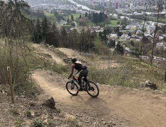
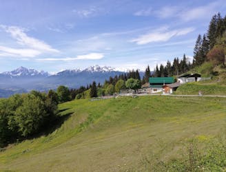
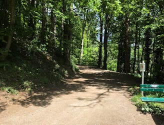
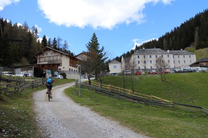
The Arzler Alm trail is a man-made track amongst trees offering fast flow single trail for the most part, with a few isolated tree root sections providing a small degree of technical riding, and is manageable for most abilities. The trail makes good use of the altitude by following the topography of the land and therefore is not too steep either. For those very advanced/expert riders there are various gap jumps along the trail although care should be taken to scope the landings first because they are often narrow or offline and require some degree of precision. For the less experienced riders there are "chicken line" options around all of the gap jumps. The trail starts at approximately 1100 metres and ends at 750 metres altitude. It is on a south facing aspect so with clear skies it sees the sun all day starting early in the morning. The trail begins just 200 metres west of the Arzler Alm restaurant, which is a great spot to stop for food or drink with amazing views.
Difficult
Mostly stable trail tread with some variability featuring larger and more unavoidable obstacles that may include, but not be limited to: bigger stones, roots, steps, and narrow curves. Compared to lower intermediate, technical difficulty is more advanced and grades of slopes are steeper. Ideal for upper intermediate riders.
0 m away
The longest single trail in Innsbruck - enjoy the breathtaking view in between a feature and the next one.
Difficult Mountain Biking
1.1 km away
A very easy to access trail, thanks to the public transportation in Innsbruck
Moderate Mountain Biking
1.3 km away
Innsbruck's best known trail is worth the hype!
Difficult Mountain Biking
1.4 km away
A stunning and non-technical trip to a couple of lovely mountain huts.
Easy Mountain Biking
3.2 km away
Gravel experience of Nordkette from west to east.
Difficult Mountain Biking
3.2 km away
Mini Gravel route just outside the city center.
Easy Mountain Biking
3.2 km away
A nice spin on the cycling paths alongside the Inn.
Easy Mountain Biking
3.3 km away
All the way up from the city to Arzler Alm - where the single trail starts.
Moderate Mountain Biking
3.3 km away
A sunny and beautiful trip between 5 classic Austrian mountain huts.
Easy Mountain Biking
3.3 km away
A technically easy but physically hard ride to a stunning and rustic mountain hut.
Moderate Mountain Biking
3 routes · Mountain Biking
5 routes · Mountain Biking

24 routes · Mountain Biking
7 routes · Mountain Biking