55 m away
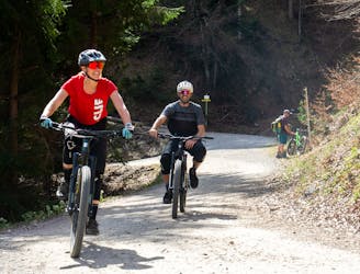
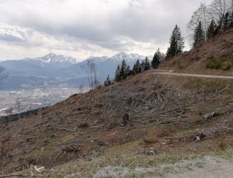
Arzler and Umbruggler Alms Loop
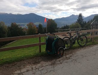
A stunning and non-technical trip to a couple of lovely mountain huts.
Easy Mountain Biking
- Distance
- 8.1 km
- Ascent
- 387 m
- Descent
- 387 m

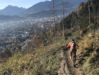
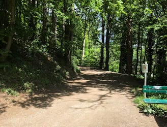
The Hungerburg Trail has been almost completely reshaped and is a short and sweet trail, which starts with plenty of flowy forest sections before merging into the new Arzler Alm Trail. There is a nice view of Innsbruck to be enjoyed in between berms and corners which are beautifully built. It winds itself down until finishing at the Innsbruck congress. All sections of the Hungerburg Trail are rated S2 on the difficulty scale.
Severe
Widely variable, narrow trail tread with steeper grades and unavoidable obstacles of 15in/38cm tall or less. Obstacles may include unavoidable bridges 24in/61cm wide or less, large rocks, gravel, difficult root sections, and more. Ideal for advanced-level riders.
55 m away
A stunning and non-technical trip to a couple of lovely mountain huts.
Easy Mountain Biking
61 m away
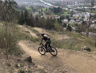
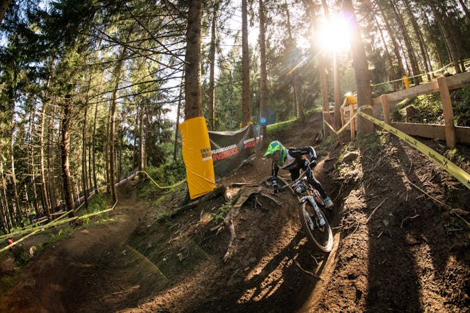
Innsbruck's best known trail is worth the hype!
Difficult Mountain Biking
329 m away
A very easy to access trail, thanks to the public transportation in Innsbruck
Moderate Mountain Biking
1.3 km away
The longest single trail in Innsbruck - enjoy the breathtaking view in between a feature and the next one.
Difficult Mountain Biking
1.9 km away
Gravel experience of Nordkette from west to east.
Difficult Mountain Biking
1.9 km away
Mini Gravel route just outside the city center.
Easy Mountain Biking
2 km away
A nice spin on the cycling paths alongside the Inn.
Easy Mountain Biking
2 km away
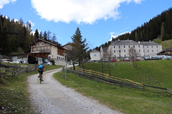
All the way up from the city to Arzler Alm - where the single trail starts.
Moderate Mountain Biking
3.7 km away
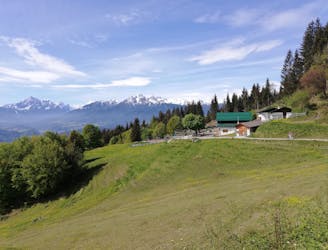
A sunny and beautiful trip between 5 classic Austrian mountain huts.
Easy Mountain Biking
3.7 km away
A technically easy but physically hard ride to a stunning and rustic mountain hut.
Moderate Mountain Biking
5 routes · Mountain Biking

24 routes · Mountain Biking
7 routes · Mountain Biking