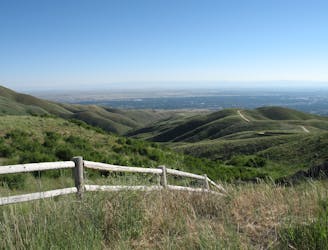
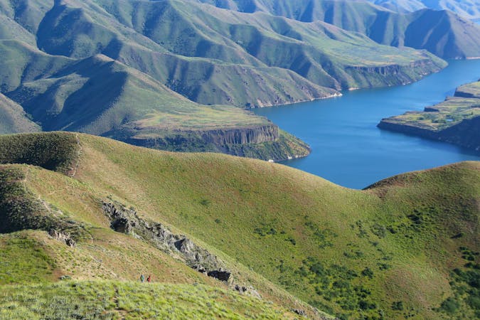
Eagle Ridge Overlooks
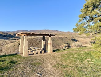
Hike uphill to nice views from both sides of a ridge near downtown Boise.
Moderate Hiking
- Distance
- 2 km
- Ascent
- 50 m
- Descent
- 50 m
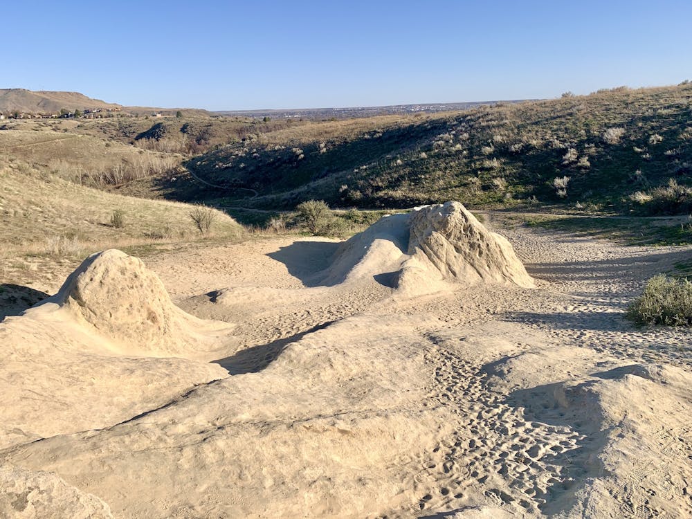
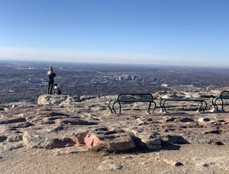
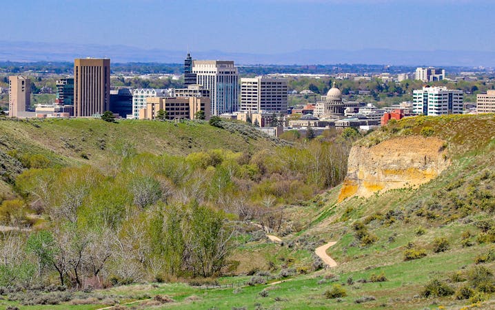
A quick hike with an overlook and a natural-rock playground that's great for kids.
Hiking Easy

This is a short and sweet hike on the Military Reserve near downtown Boise. It goes up a hill to a unique sandstone dome called Elephant Rock, which kids will love to scramble on. The eroded rock is surrounded in beach-like sand and angled slabs, making the whole zone kind of like a natural playground.
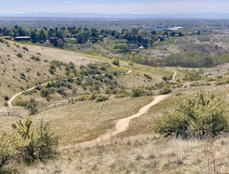
From the rock you can go a bit farther uphill to an excellent view over the city. The panorama centers on the Capitol Building and the rest of the downtown skyline. From the the loop continues through a grove of thin trees and back downhill, easily returning to the road and the trailhead.
Easy
Walking along a well-kept trail that’s mostly flat. No obstacles are present.

The path is on completely flat land and potential injury is limited to falling over.
Close to help in case of emergency.
Hike uphill to nice views from both sides of a ridge near downtown Boise.
Moderate Hiking
1 m away

Short and easy hike among prairie and forest near a little creek.
Easy Hiking
1 m away
A loop with some elevation gain and varied scenery, using Ridge Crest and Central Ridge trails
Moderate Hiking
2.3 km away

A short loop with a lot of variety, and different sights for every season.
Easy Hiking
2.4 km away

Scenic loop with steep hills and shady forest in the North End of Boise.
Moderate Hiking
2.4 km away
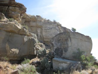
Quick hike in the foothills near downtown, with striking geology and sweeping views of the city.
Moderate Hiking
2.4 km away
Boise's #1 hike, plus bonus scenery by making the loop.
Difficult Hiking
2.5 km away
A nicely varied loop in the foothills near downtown, through a sheltered creek valley and across panoramic slopes.
Moderate Hiking
2.5 km away
A short and scenic loop with views over the city and some colorful geology.
Easy Hiking
3.4 km away
A scenic jaunt close to downtown, in a network of many popular trails.
Moderate Hiking
10 routes · Hiking
10 routes · Hiking