116 m away
The Burrough Range Traverse
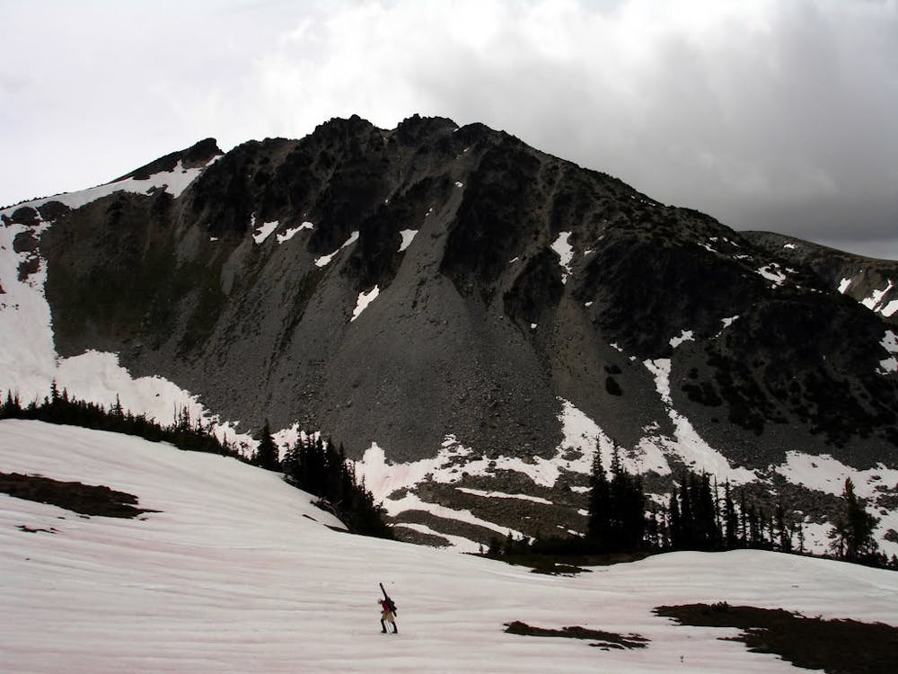
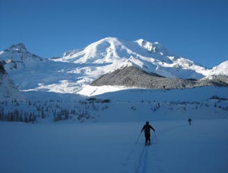
Milking some of the better lines in the Burroughs before riding back to the White River Campground
Difficult Ski Touring
- Distance
- 15 km
- Ascent
- 1.2 km
- Descent
- 1.8 km
Getting out to once of the last snow filled bowls once Sunrise Visitor Center is open for the season
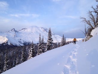
Ski Touring Moderate

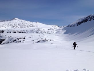
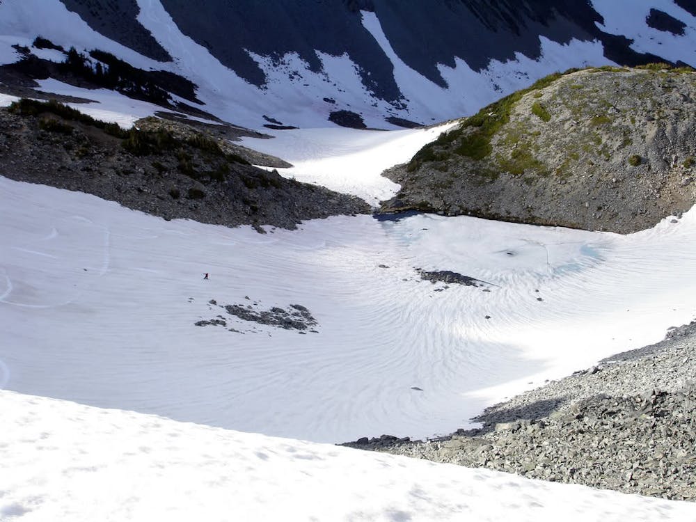
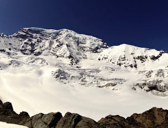
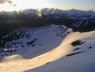
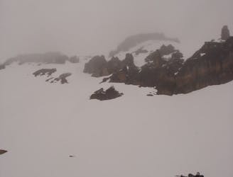
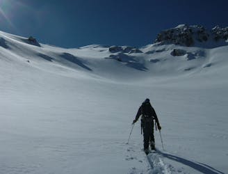
The Northeast bowl of Mount Fremont is the perfect place to head once the snow has melted everywhere else. While this area isn’t the biggest line around you can still get turns well after the Sunrise road has opened up for the season. With the area having a small pond at the bottom it is a nice little cirque with quite a bit of options with a simple bootpack heading back up. While we could have came here from the Frozen Lake area we decided to be a bit more adventures as you will see in the description below.
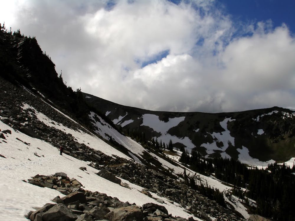
Starting at the Sunrise Visitor Center head northwest on the Sourdough Ridge Trail. Branching off right on the Huckleberry Creek Trail keep following the ridge west until there is a small ridge separating Mount Fremont Southern Basin and Sourdough Ridge Basin. Descend down loosely following the Huckleberry Creek trail but stop just before the lower roller descends into the valley.
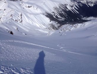
Wanting to follow the snowpack we did a traverse around the Eastern Ridge of Mount Fremont gaining elevation until arriving just above a small tarn. From here we rode down to the lake before bootpacking Southwest up to the ridge and for the next few hours took lap after lap within the basin. Each time we would climb up and find another aspect to ride back to the bootpack and just repeat.
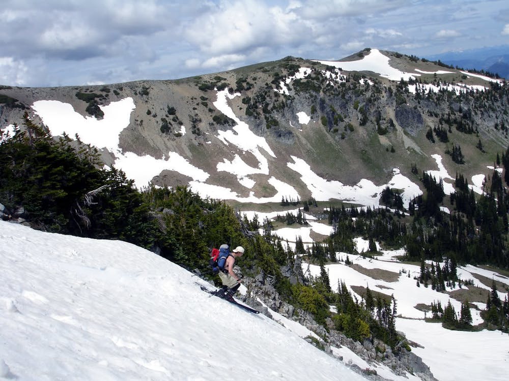
Once it was time to leave we hiked a little ways skiers right of the lakes drainage and were able to ride quite a ways into the valley. Soon enough we caught up with the Huckleberry Creek Trail where we loosely retraced our approach back up to Sourdough Ridge and back down to the visitor Center.
While this is far from the wildest ski tour around it is good to know that this place has good snow once The Sunrise road opens.
To see my trip in the area and more photos check out this link https://www.whereiskylemiller.com/mt-rainier/mount-fremont/
Moderate
Slopes become slightly steeper at around 25-30 degrees.

As well as the slope itself, there are some obstacles (such as rock outcrops) which could aggravate injury.

Little chance of being seen or helped in case of an accident.
116 m away
Milking some of the better lines in the Burroughs before riding back to the White River Campground
Difficult Ski Touring
1.4 km away
Making the most out of the alpine terrain within the Sourdough Mountains
Severe Ski Touring
1.4 km away
Linking together two great lines during a single ski tour
Difficult Ski Touring
1.4 km away
Making the most out of a spring weekend
Difficult Ski Touring
1.4 km away
A classic ascent and pleasant ski descent!
Severe Ski Touring
1.4 km away
Heading from the Third Burroughs all the way to 410 through the Sourdough Range
Severe Ski Touring
1.4 km away
Another great south facing line within Glacier Basin
Difficult Ski Touring
1.4 km away
Climbing up the Emmons and descending down the Interglacier in powder
Difficult Ski Touring
1.4 km away
Mid Winter trip up the lower slopes of the Emmons Glacier
Moderate Ski Touring
1.5 km away
Heading up Glacier Basin to Snowboard the Interglacier in powder conditions
Difficult Ski Touring

9 routes · Ski Touring
6 routes · Ski Touring