116 m away
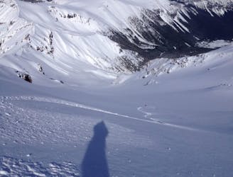
Mount Fremont Northeast Bowl
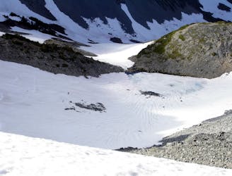
Getting out to once of the last snow filled bowls once Sunrise Visitor Center is open for the season
Moderate Ski Touring
- Distance
- 8.5 km
- Ascent
- 977 m
- Descent
- 976 m
Milking some of the better lines in the Burroughs before riding back to the White River Campground
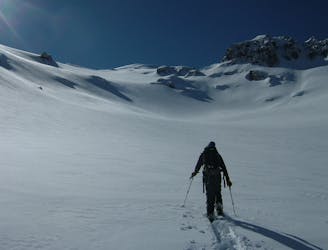
Ski Touring Difficult

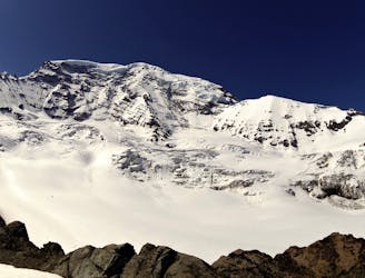
The Burroughs is such a unique zone with the tops being flat enough to be the perfect cross country skiing zone but don’t judge a book by its cover. While the top is mellow the slopes on the North and South sides are another story entirely. Wanting to make the most out of a sunny day we decided to make what could be a simple exit to the White River Campground a day to remember. Knowing that there was powder out there we would work with the terrain to get the most vert as well as riding some great lines. While this trip was done Midwinter you could easily do everything once the White River Campground opens.
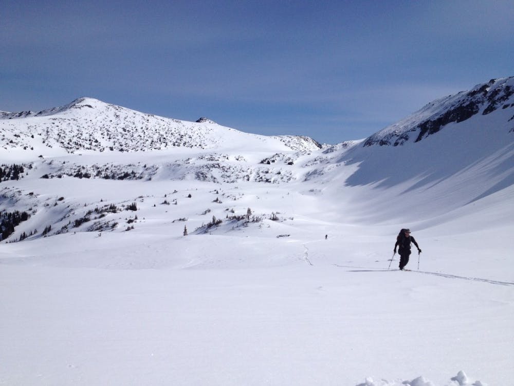
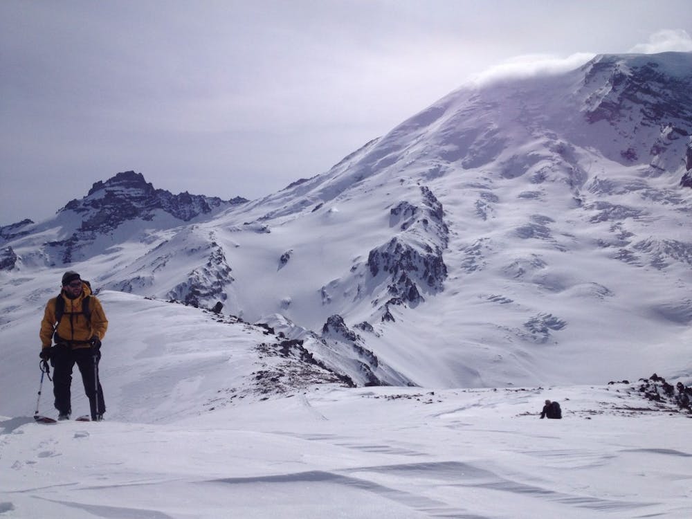
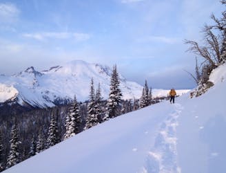
A few days before we had snowmobiled into the White River Campground before heading up the Wonderland trail to Sunrise visitor center. Starting at the visitor center we followed the summer road to the west before climbing up to Frozen Lake. Snowboarding west down into the upper basin of Berkeley Park we switched to skinning where we were able to gain the ridge via the lower Northeast slopes of the Second Burroughs. Being that it was holding powder the moment we got to the top we switched over and took a quick lap before climbing back up the ridge.
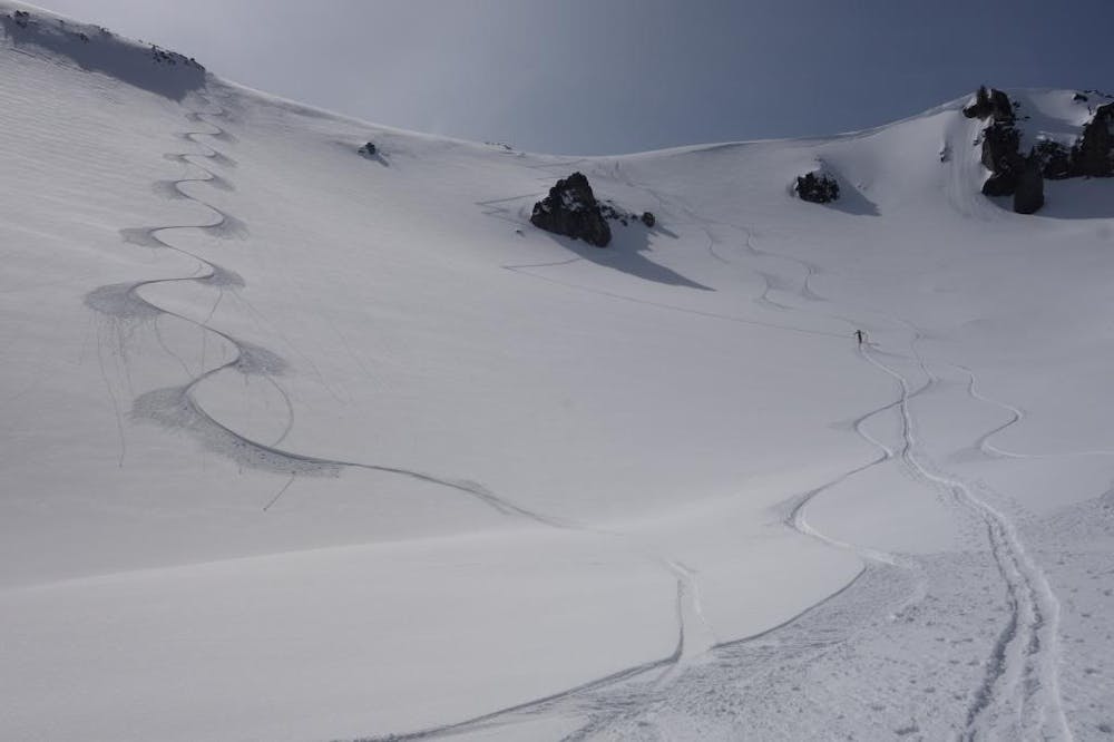
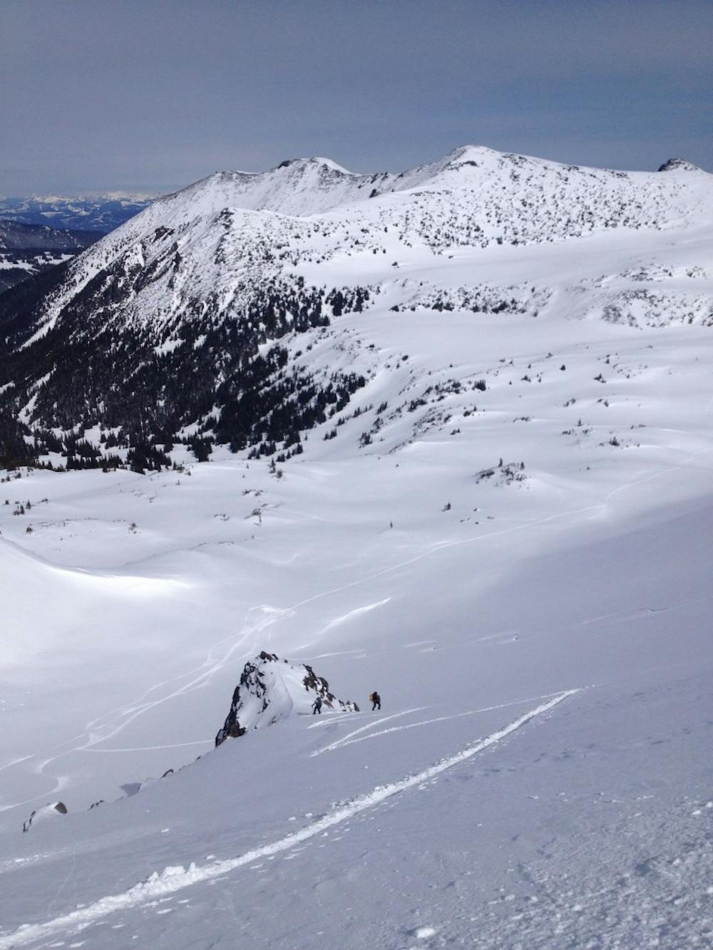
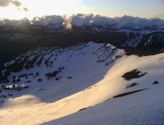
Being at the col between the Second the Third Burroughs we made our way west until arriving on the Third Burroughs Summit. Standing up top we rode down a northeast chute into the valley until it flattened out. By now the day was getting short so we started heading south up and over the col and back onto the summit of the Third Burrough. Dropping in we started heading south before the slope rolled over slowly heading skiers left and riding all the way down the main drainage until arriving on the Glacier Basin Trail. From here we followed the Trail down having to boot pack occasionally but it was a relatively easy descent all the way back to the White River Campground.
To see my trip in the area and more photos check out this link https://www.whereiskylemiller.com/mt-rainier/sunrise-sourdoughs-traverse/
Difficult
Serious gradient of 30-38 degrees where a real risk of slipping exists.

As well as the slope itself, there are some obstacles (such as rock outcrops) which could aggravate injury.

Little chance of being seen or helped in case of an accident.
116 m away
Getting out to once of the last snow filled bowls once Sunrise Visitor Center is open for the season
Moderate Ski Touring
1.4 km away
Mid Winter trip up the lower slopes of the Emmons Glacier
Moderate Ski Touring
1.4 km away
Making the most out of a spring weekend
Difficult Ski Touring
1.4 km away
Linking together two great lines during a single ski tour
Difficult Ski Touring
1.4 km away
Making the most out of the alpine terrain within the Sourdough Mountains
Severe Ski Touring
1.4 km away
Heading from the Third Burroughs all the way to 410 through the Sourdough Range
Severe Ski Touring
1.4 km away
A classic ascent and pleasant ski descent!
Severe Ski Touring
1.4 km away
Another great south facing line within Glacier Basin
Difficult Ski Touring
1.4 km away
Climbing up the Emmons and descending down the Interglacier in powder
Difficult Ski Touring
1.4 km away
Heading up Glacier Basin to Snowboard the Interglacier in powder conditions
Difficult Ski Touring

9 routes · Ski Touring
6 routes · Ski Touring