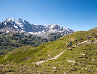
Trailrunning beside the Rhône Glacier
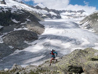
Starting from Gletsch and climbing up to incredible views and trails right next to the diminishing Rhone Glacier.
Difficult Trail Running
- Distance
- 14 km
- Ascent
- 802 m
- Descent
- 450 m
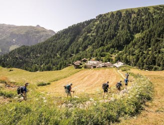
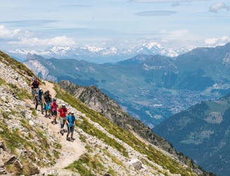
Explore Valais with curated guides of the best hiking trails, mountain bike trails, trail running routes, ski routes, and more. With over 726 3D trail maps in FATMAP, you can easily discover and navigate the best trails in Valais.
No matter what your next adventure has in store, you can find a guide on FATMAP to help you plan your next epic trip.
Get a top trail recommendation in Valais from one of our 73 guidebooks, or get inspired by the 726 local adventures uploaded by the FATMAP community. Start exploring now!
Starting from Gletsch and climbing up to incredible views and trails right next to the diminishing Rhone Glacier.
Difficult Trail Running

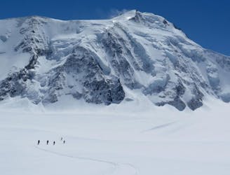
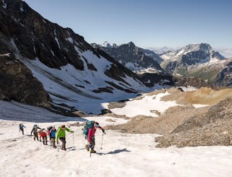
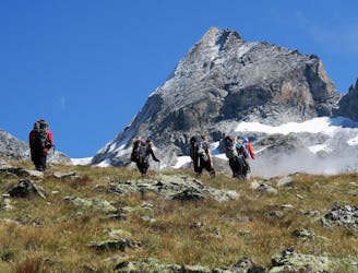
The start of a week long adventure in the high Alps
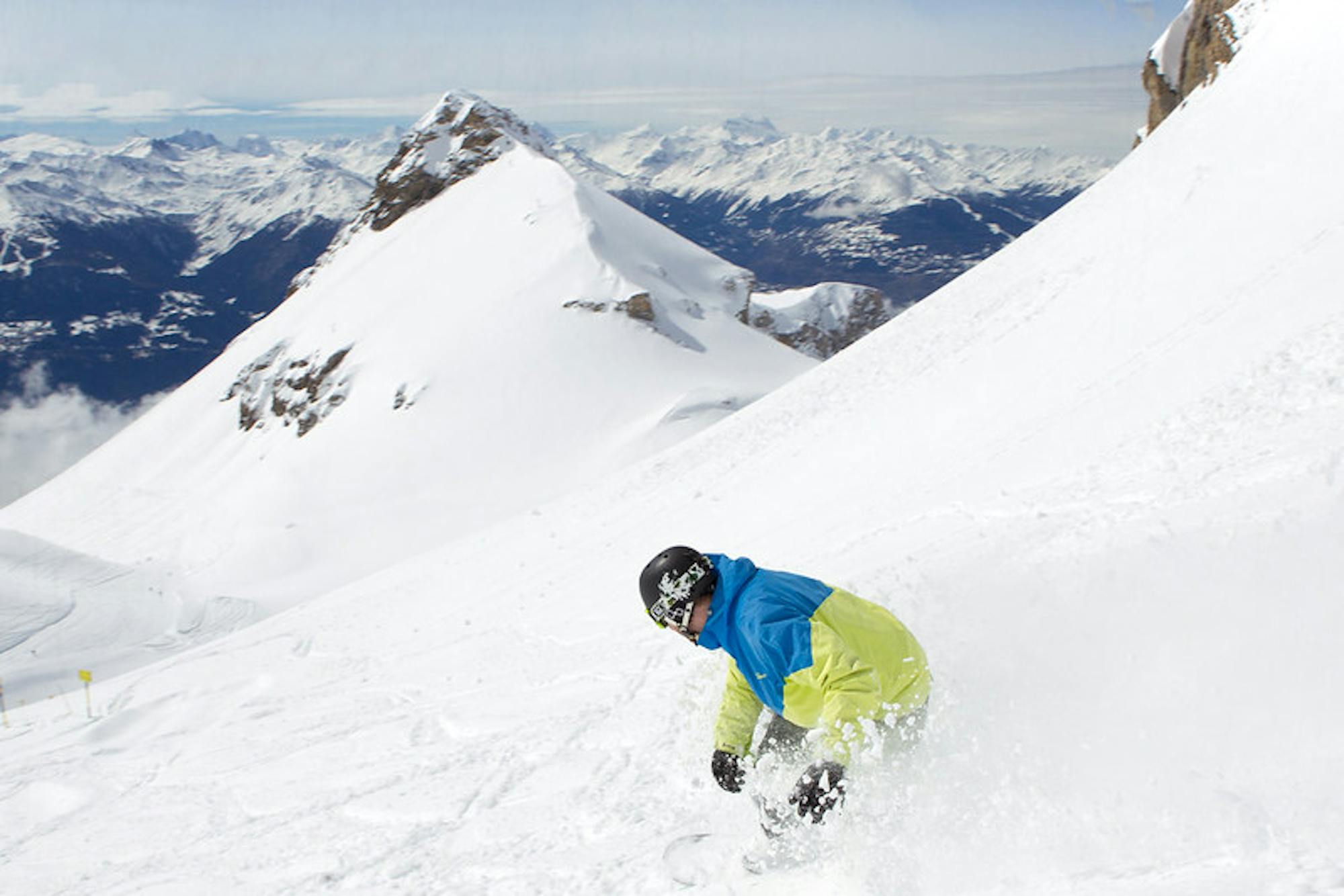
Moderate Ski Touring
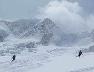
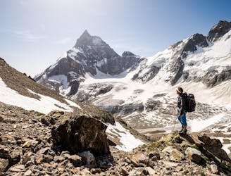
A breathtaking peak en route to Finsteraarhorn hut
Moderate Ski Touring
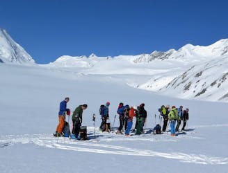
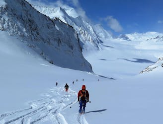
A big day on the mountain with an incredible summit as reward
Moderate Ski Touring
Conquer an isolated peak in a day, a real leg burner!
Moderate Ski Touring

Traverse the Kranzberg before a spectacular descent
Moderate Ski Touring
A big finish to the week with a legendary 2000m descent!
Moderate Ski Touring
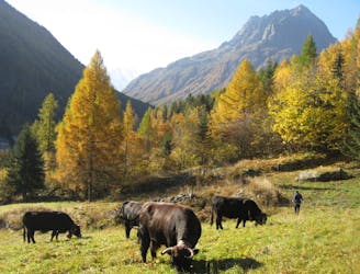
A scenic, easy route that will take you to the edge of the Swiss border
Easy Mountain Biking
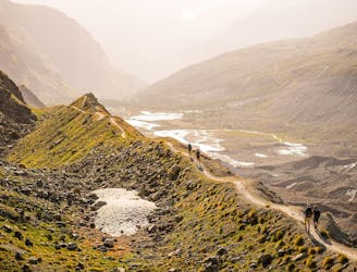
Total walking time: 9-10 hours, 890m of ascent, 1,400m of descent.
Severe Hiking
Total walking time: 3-4 hour, 150m of ascent, 800m of descent.
Easy Hiking
Total walking time: 5-6 hours, 1300m of ascent.
Difficult Hiking
Total walking time: 7-8 hours, 650m of ascent, 1,750m of descent.
Moderate Hiking
Total walking time: 7-8 hours, 700m of ascent.
Difficult Hiking
Total walking time: 3-4 hours, 980m of ascent, 200m of descent.
Moderate Hiking
Total walking time: 7-8 hours, 750m of ascent, 1,400m of descent.
Moderate Hiking
Total walking time: 4-5 hours, 1,400m of ascent.
Moderate Hiking