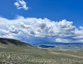
Four Pass Loop Day 2: East Fork Zone to Snowmass Lake
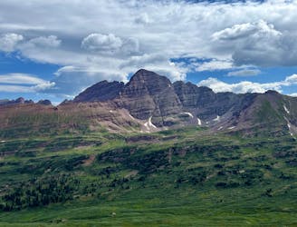
The toughest day of this 3-day itinerary, crossing two of the four alpine passes.
Difficult Hiking
- Distance
- 18 km
- Ascent
- 909 m
- Descent
- 1.1 km
Half of the skiable terrain is suitable for beginners and intermediates whereas the rest offers challenging varieties of chutes, gully's, glades and cliffs.
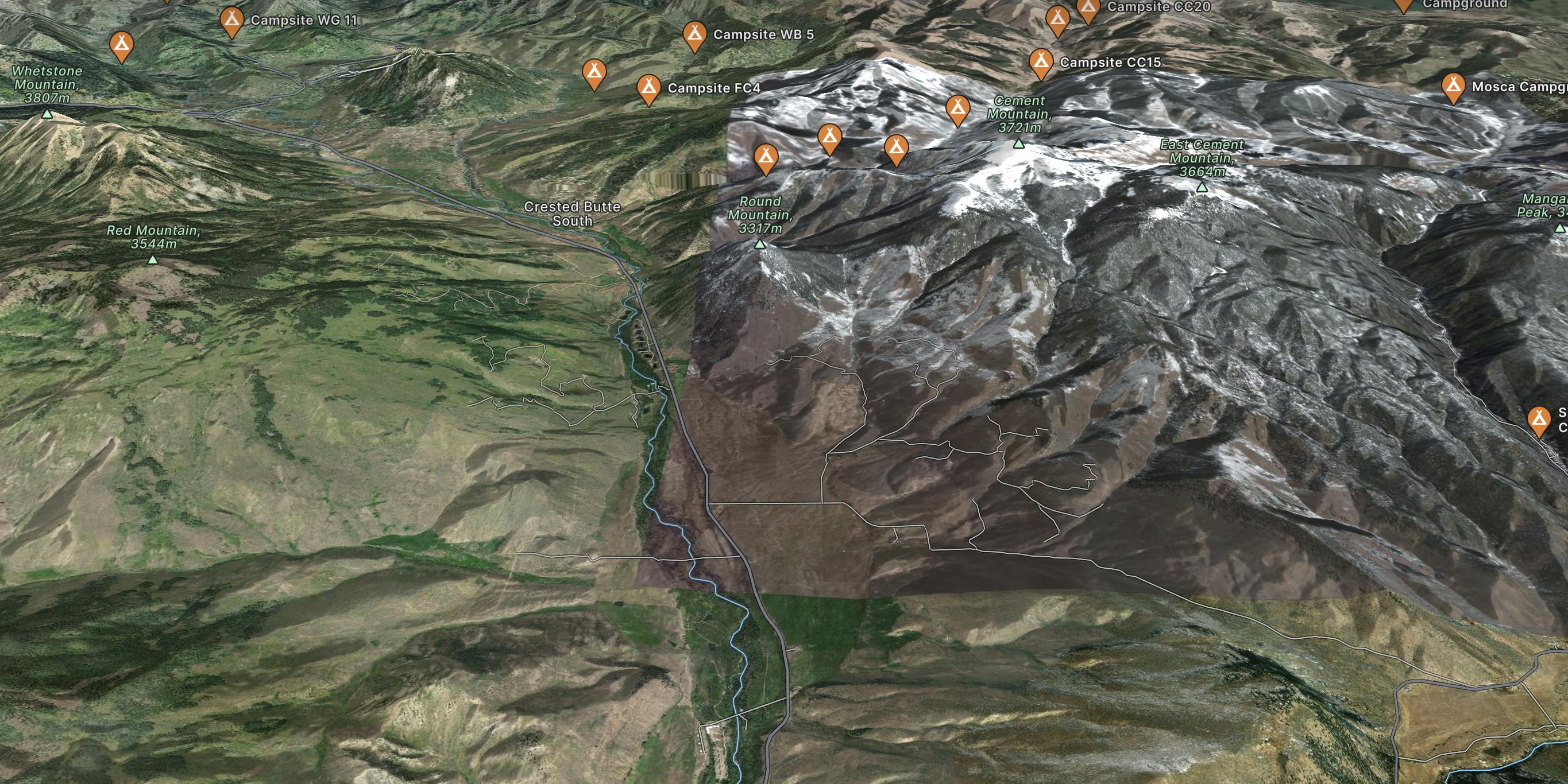
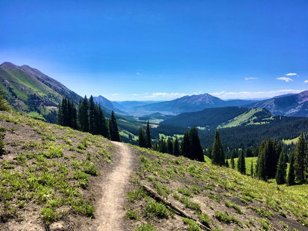
Go hiking in Crested Butte with curated guides of the best hikes across the region. With over 191 3D trail maps in FATMAP, you can easily discover and navigate the best trails in Crested Butte.
No matter what your next adventure has in store, you can find a guide on FATMAP to help you plan your next epic trip.
Get a top hiking trail recommendation in Crested Butte from one of our 31 guidebooks, or get inspired by the 191 local adventures uploaded by the FATMAP community. Start exploring now!
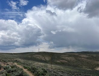
The toughest day of this 3-day itinerary, crossing two of the four alpine passes.
Difficult Hiking
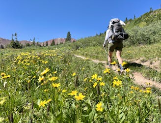
A long grind up West Maroon Valley leads to the tallest pass of this 3-day trip.
Difficult Hiking
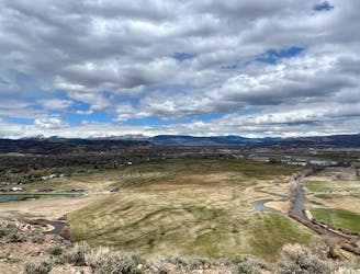
A beautiful loop hike accessible directly from the outskirts of Gunnison.
Easy Hiking

A short but scenic hike in the far reaches of Hartman Rocks.
Difficult Hiking
Hike along the elevated ridgeline with stunning views of the Gunnison Valley.
Difficult Hiking

An easily-accessible loop at Hartman Rocks touring some of the best trails.
Difficult Hiking

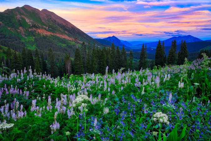
One of the most accessible hikes in the beautiful Fossil Ridge Wilderness.
Difficult Hiking
A scenic loop deep in the Signal Peak trail system.
Moderate Hiking

16 routes · Hiking

7 routes · Alpine Climbing · Hiking
16 routes · Hiking
4 routes · Hiking
3 routes · Hiking
3 routes · Mountain Biking · Hiking · Trail Running
5 routes · Alpine Climbing · Hiking

46 routes · Alpine Climbing · Hiking