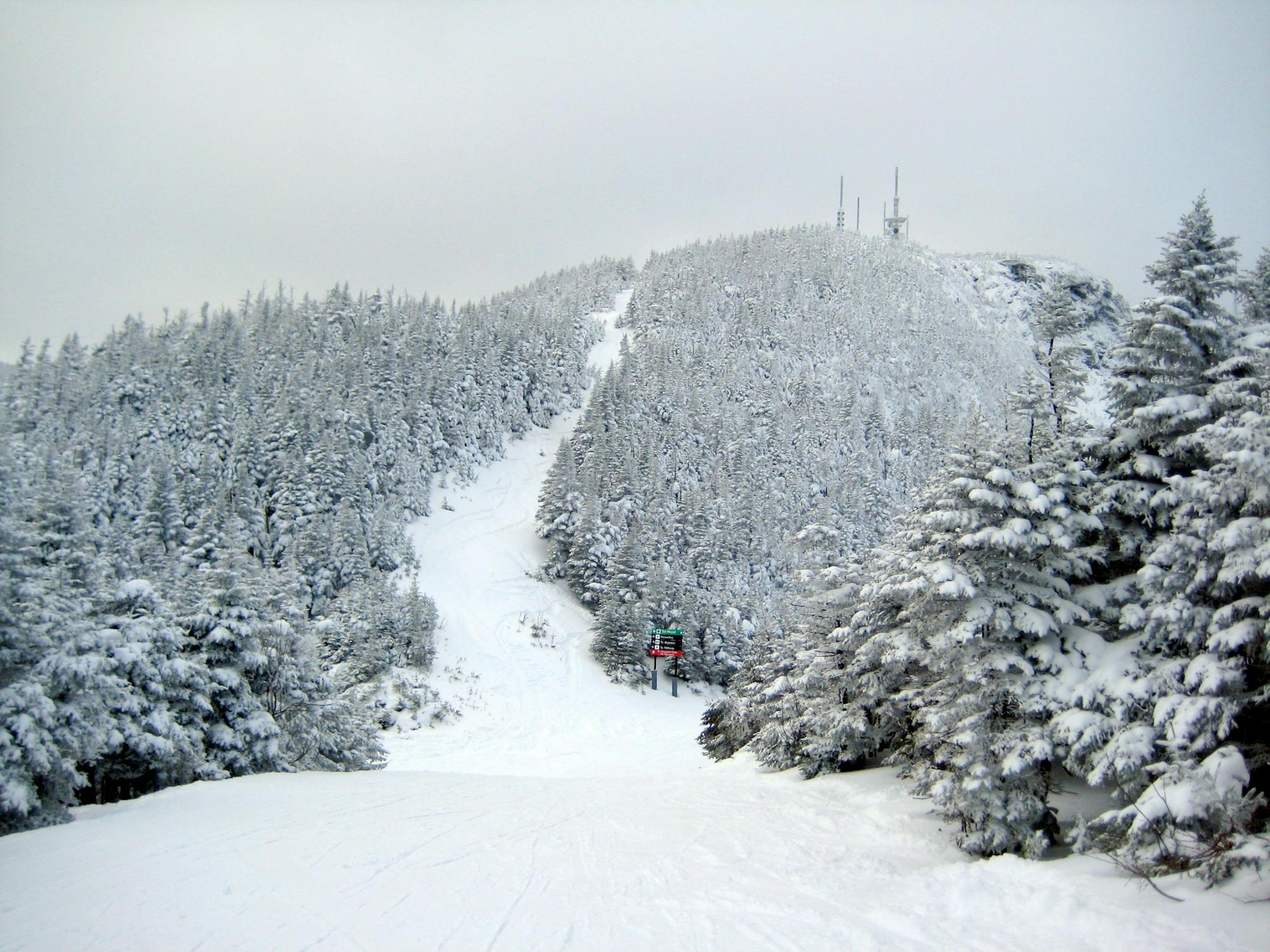
Killington-Pico Interconnect

A mellow but rather long sidecountry tour linking two disjunct areas of Killington.
Moderate Resort Ski Touring
- Distance
- 4.7 km
- Ascent
- 558 m
- Descent
- 32 m
Explore Vermont with curated guides of the best hiking trails, trail running routes, ski routes, and more. With over 190 3D trail maps in FATMAP, you can easily discover and navigate the best trails in Vermont.
No matter what your next adventure has in store, you can find a guide on FATMAP to help you plan your next epic trip.
Get a top trail recommendation in Vermont from one of our 13 guidebooks, or get inspired by the 190 local adventures uploaded by the FATMAP community. Start exploring now!
A mellow but rather long sidecountry tour linking two disjunct areas of Killington.
Moderate Resort Ski Touring

Woodsy uphill route for all-day access at Pico
Difficult Resort Ski Touring

Most direct route for skinning to the top of Pico.
Moderate Resort Ski Touring

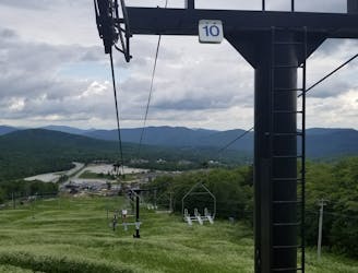
A go-to uptrack for ski touring training at Killington.
Moderate Resort Ski Touring

A basic route for uphill access during open hours at Stowe.
Easy Resort Ski Touring
The route for morning uphill laps at Stowe.
Difficult Resort Ski Touring
Evening uphill access to the top of Stowe Resort.
Moderate Resort Ski Touring
Ski tour on the historic Toll Road going up Mount Mansfield.
Easy Resort Ski Touring
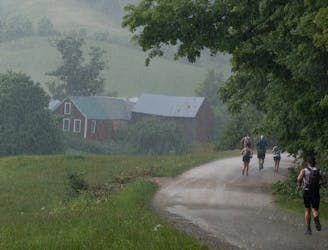
Run one of the oldest 100-mile trail races in the country!
Extreme Trail Running
A blue jump line off of the Showshed Express Quad that is fun by itself, or as the finale of a longer run off the K-1 Gondola.
Moderate Mountain Biking

Forest hike among the ski runs that finishes near a mountainside café, and provides access to higher trails on Mount Mansfield.
Moderate Hiking
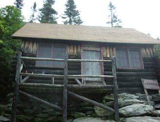
Climb to one of Mount Mansfield’s lesser peaks, with an overnight shelter and options for longer loop routes.
Severe Hiking

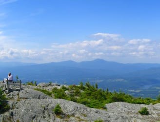
Rewarding hike to a lesser-known summit of the mountains near Stowe.
Difficult Hiking

The trail to the top of Mount Hunger from the east side.
Severe Hiking
A committing traverse of the surprisingly rugged and varied peaks east of Stowe.
Severe Hiking
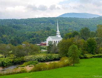
Unpaved recreation path through fields and along a river near Stowe Village.
Easy Hiking