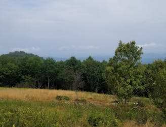
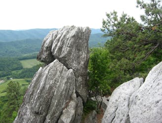
Appalachian Trail: VA-56 to Rockfish Gap
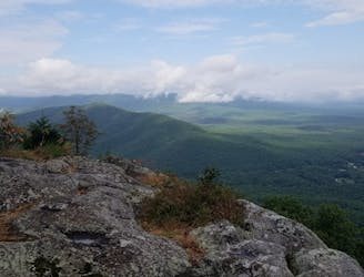
A shorter segment lined with excellent day hiking and overnight opportunities.
Difficult Hiking
- Distance
- 45 km
- Ascent
- 2.2 km
- Descent
- 1.9 km

Go hiking in Virginia with curated guides of the best hikes across the region. With over 76 3D trail maps in FATMAP, you can easily discover and navigate the best trails in Virginia.
No matter what your next adventure has in store, you can find a guide on FATMAP to help you plan your next epic trip.
Get a top hiking trail recommendation in Virginia from one of our 11 guidebooks, or get inspired by the 76 local adventures uploaded by the FATMAP community. Start exploring now!
A shorter segment lined with excellent day hiking and overnight opportunities.
Difficult Hiking
An epic route across the Blue Ridge connecting low river valleys to high peaks.
Difficult Hiking
A strenuous and remote section of the AT through backcountry and Wilderness areas.
Difficult Hiking
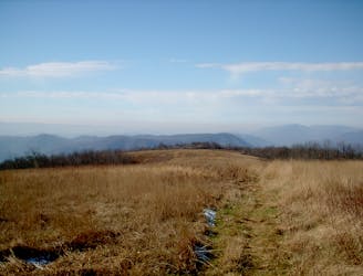
The iconic AT segment home to McAfee Knob and Tinker Cliffs.
Difficult Hiking
The trek to the iconic Dragon's Tooth formation.
Difficult Hiking

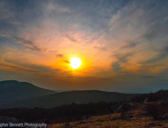
A series of long ridgeline traverses, ending with a summit of the picturesque Kelly Knob.
Difficult Hiking

A trek across endless Brushy Mountains, past Dismall Falls, and ending at New River.
Difficult Hiking
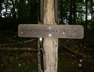
Crossing the one-quarter mark of the roughly 2,200-mile-long AT.
Moderate Hiking
A relaxing stretch crossing The Scales and ending at Interstate 81
Moderate Hiking
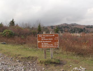
The trek from the iconic trail town of Damascus to Mount Rogers and the Grayson Highlands
Difficult Hiking
A ridgeline traverse into the iconic trail town of Damascus.
Moderate Hiking
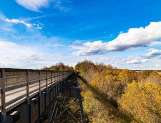
A beautiful rails-to-trails route crossing the longest recreational bridge in Virginia.
Easy Hiking
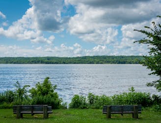
A long greenway path providing beautiful views of the Potomac River.
Easy Hiking
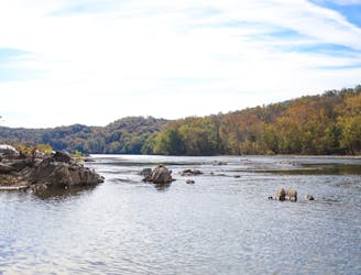
A beautiful hike along the Potomac River.
Moderate Hiking