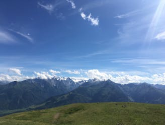
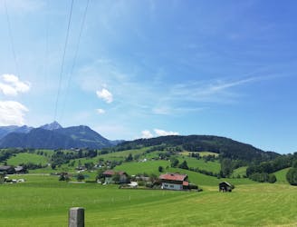
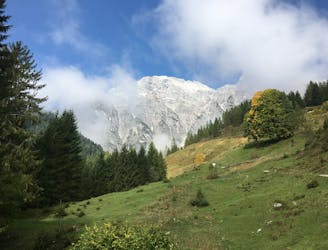
Peisendorf – Hochsonnberg – Pinzgauer Hut Loop
A challenging tour climbing and descending the Hochsonnberg (2150m).
Severe Mountain Biking
- Distance
- 25 km
- Ascent
- 1.2 km
- Descent
- 1.2 km
Explore Salzburg with curated guides of the best hiking trails, mountain bike trails, trail running routes, ski routes, and more. With over 148 3D trail maps in FATMAP, you can easily discover and navigate the best trails in Salzburg.
No matter what your next adventure has in store, you can find a guide on FATMAP to help you plan your next epic trip.
Get a top trail recommendation in Salzburg from one of our 16 guidebooks, or get inspired by the 148 local adventures uploaded by the FATMAP community. Start exploring now!
A challenging tour climbing and descending the Hochsonnberg (2150m).
Severe Mountain Biking
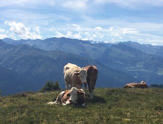
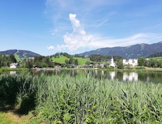
A classic descent of the Schmittenhöhe, also known as the "4 Lakes Trail."
Moderate Hiking
Summit the Schmittenhöhe – Zell am See's "hiker's mountain."
Difficult Hiking
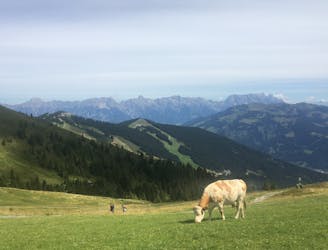
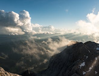
A long, high alpine run with excellent views and multiple summits!
Difficult Trail Running
Perhaps the most beautiful high trail in the Eastern Alps.
Difficult Hiking
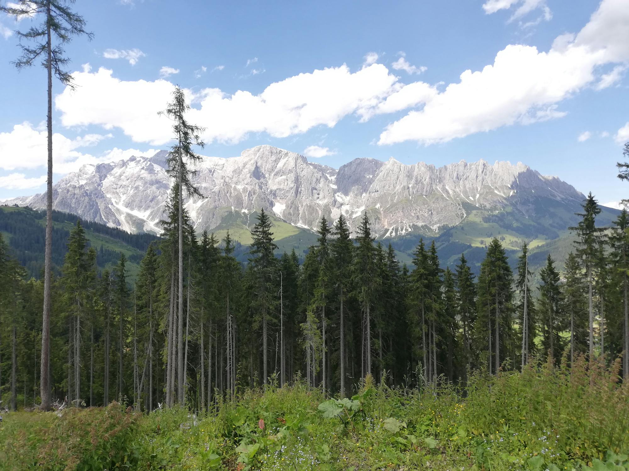
Shady woodlands, high alpine views and three traditional Austrian mountain huts.
Moderate Hiking
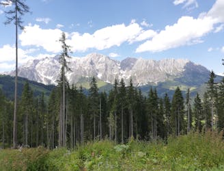
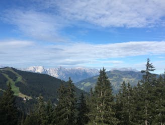
Explore the forests and enjoy some epic views of the Wilder Kaiser.
Moderate Hiking
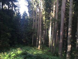
A peaceful loop through quiet forests.
Moderate Hiking
A cruisy walk above and alongside a lovely little lake.
Easy Hiking
A long and rewarding hike to the summit of Hochkönig
Moderate Hiking
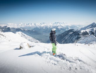
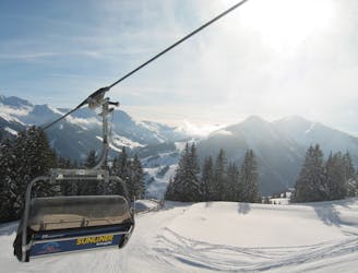
Easy lift-accessed freeride route from the top lift station of the Kitzsteinhorn Glacier
Easy Freeride Skiing
A scenic hike to one of the lowest glaciers in Europe
Moderate Hiking

Wonderful ski tour, which is also suitable already from the pre-winter.
Difficult Freeride Skiing
Classic Saalbach freeride
Easy Freeride Skiing

Long descent until bus stop
Moderate Freeride Skiing

Long and steep-ish descent until Saalbach
Difficult Freeride Skiing