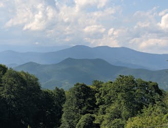
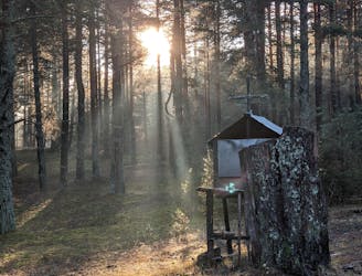
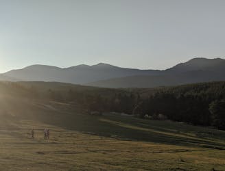
Velingrad - Mt Troshan - Blatza
Hiking route from Velingrad to Blatza area.
Moderate Hiking
- Distance
- 7.6 km
- Ascent
- 589 m
- Descent
- 169 m
Explore Pazardzhik with curated guides of the best hiking trails, mountain bike trails, and more. With over 54 3D trail maps in FATMAP, you can easily discover and navigate the best trails in Pazardzhik.
No matter what your next adventure has in store, you can find a guide on FATMAP to help you plan your next epic trip.
Get a top trail recommendation in Pazardzhik, or get inspired by the 54 local adventures uploaded by the FATMAP community. Start exploring now!
Hiking route from Velingrad to Blatza area.
Moderate Hiking
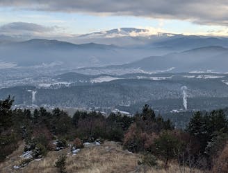
Hiking route from Velingrad to Mt Syutka
Difficult Hiking
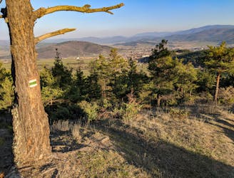
Hiking route from Velingrad to Yundola via Mt Ostrets
Moderate Hiking
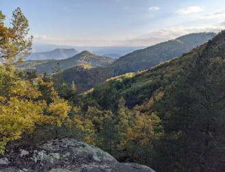
Hiking route on the southern slopes of Alabak range
Moderate Hiking
Hiking route from Velingrad to Mt Elin vrah
Difficult Hiking
Hiking route from Velingrad to Kladova
Moderate Hiking
Hiking route from Velingrad to Byalata Skala and Kladova
Moderate Hiking
Hiking route linking Velingrad and Yundola resort via Lokvata area
Moderate Hiking

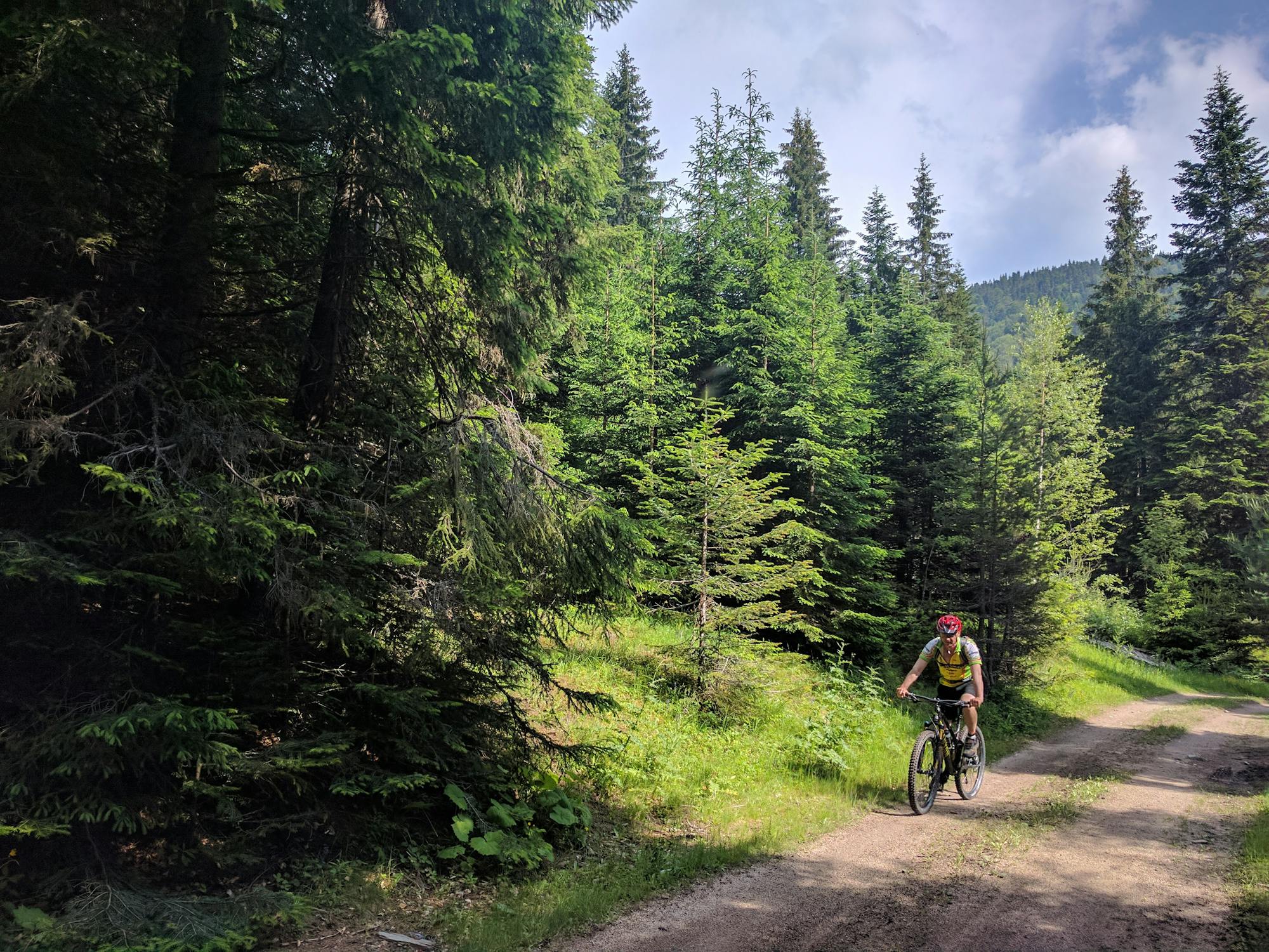
Picturesque XC route over the hills east of Draginovo
Moderate Mountain Biking

Picturesque XC route following the ridge of Mt Ostrets from Sveta Petka to Velingrad
Moderate Mountain Biking

Segment #211 is another option to go down from Mt Elin vrah
Difficult Mountain Biking

XC route providing you with many options for 2-3 hrs loops west of Velingrad
Moderate Mountain Biking

Short segment connecting #250 with #205, #206 and #211
Moderate Mountain Biking

Another downhill option starting from Mt Elin vrah
Difficult Mountain Biking

The steepest and driest single track in the vicinity of Velingrad
Difficult Mountain Biking

Fun ride down the slopes of Alabak near Velingrad
Difficult Mountain Biking