18 m away
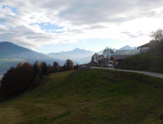
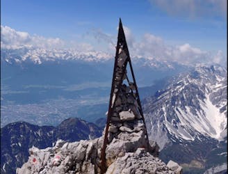
Thaurer Zunterkopf
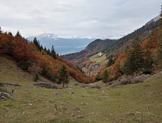
A wonderful and wild hike which is best done using a bike for the approach and descent.
Difficult Hiking
- Distance
- 9.5 km
- Ascent
- 1.1 km
- Descent
- 1.1 km
Rarely summited peak in the Karwendel
Hiking Extreme

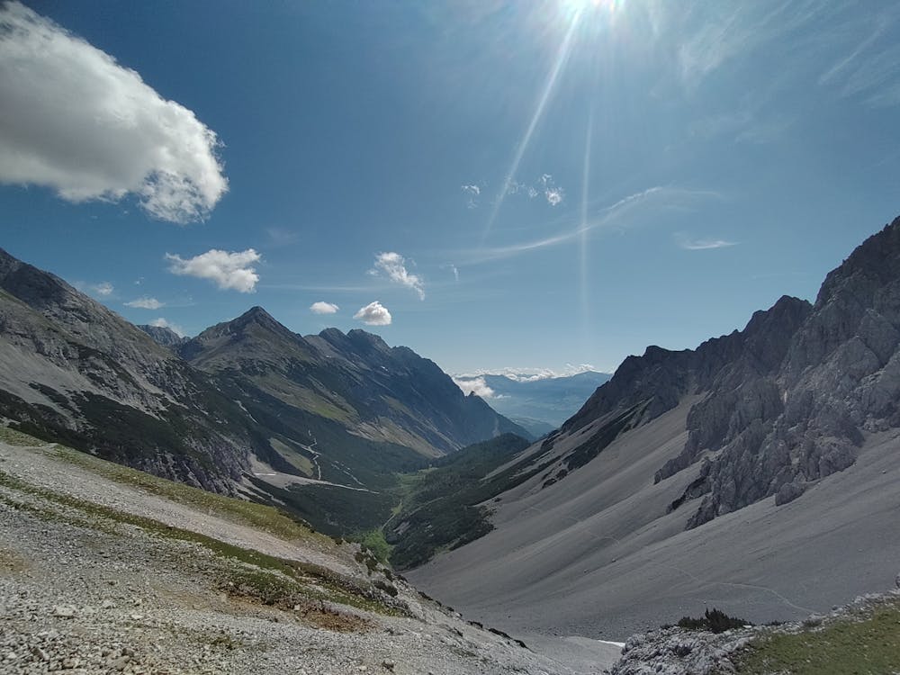
Thaurer-Alm-Parkingspot - (Rosskopf) - Thaurer Kreuzjöchl - (Jochspitze) - Stempeljoch - Lafatscher Joch - kl. Lafatscher - Herrenhäuser - Törl - (Thaurer Zunterkopf + Kaisersäule) - and back to the start
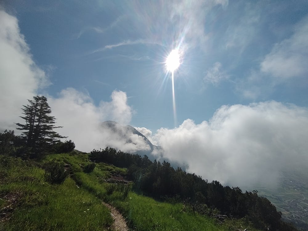
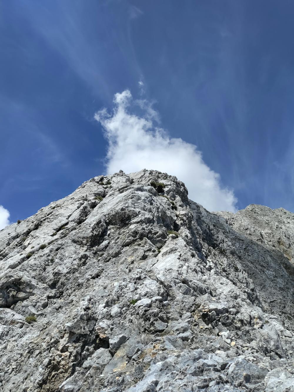
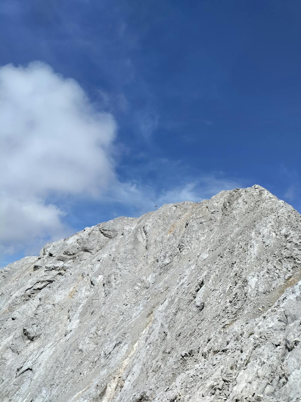
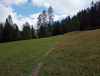
note: There isn't an actual pathway to the top of little Lafatscher, just follow the ridge. One should be very carful where to step and should not be afraid of heights. Climbing an UIAA-II should be no Problem. It's very easy to do but in this case probably deadly if you fell.
Other than that the route is very scenic and easy to follow
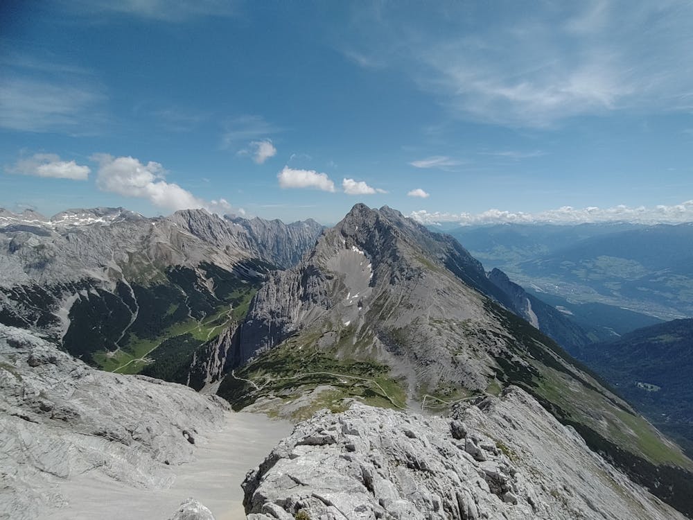
Extreme
Scrambling up mountains and along technical trails with moderate fall exposure. Handholds are necessary to navigate the trail in its entirety, although they are not necessary at all times. Some obstacles can be very large and difficult to navigate, and the grades can often be near-vertical. The challenge of the trail and the steepness of the grade results in very strenuous hiking. Hikes of this difficulty blur the lines between "hiking" and "climbing".

Some trail sections are extremely exposed where falling will almost certainly result in serious injury or death.

Away from help but easily accessed.
18 m away
A wonderful and wild hike which is best done using a bike for the approach and descent.
Difficult Hiking
1.3 km away
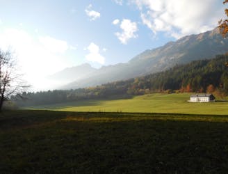
A long and scenic journey between some of Tirol's finest huts.
Difficult Hiking
1.4 km away
A gorgeous walk between 2 easily-accessed villages.
Moderate Hiking
1.5 km away

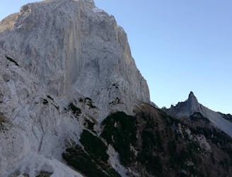
Sophisticated alpine hike that offers a great variation of landscapes ending in a ridge with moderate climbing passages.
Severe Hiking
4.7 km away
Possibly the most popular hike in Innsbruck and for good reason - this is a lovely little trip.
Moderate Hiking
4.7 km away
A gorgeous trip through a wild valley.
Difficult Hiking
4.7 km away
A lovely, easy traverse to a charming Tirolian town.
Moderate Hiking
4.7 km away
A long and utterly wild adventure through some stunning, remote terrain.
Extreme Hiking
4.8 km away
An adventurous hike to a scenic peak!
Severe Hiking
4.8 km away
A lovely, sunny walk suitable for the whole family.
Moderate Hiking

8 routes · Hiking

5 routes · Hiking

9 routes · Hiking

6 routes · Hiking