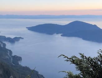
1.6 km away
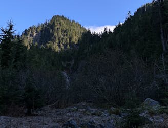
YVR Sunsets: Tunnel Bluffs
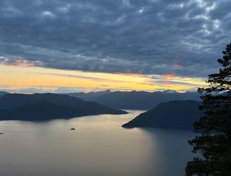
Beautiful Howe Sound sunset with a sneaky peak of Tantalus
Moderate Hiking
- Distance
- 11 km
- Ascent
- 554 m
- Descent
- 554 m
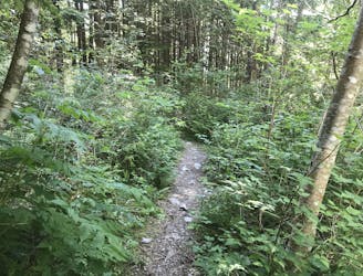
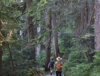
A long and vertical day trip. Take a cab and get dropped off at Lion's bay
Hiking Difficult

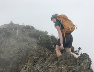
This is a popular hiking route which is generally considered to be difficult. It's remote, it features medium exposure and is typically done between June and September. From a low point of 205 m to the maximum altitude of 1.5 km, the route covers 21 km, 2063 vertical metres of ascent and 1891 vertical metres of descent.
There is exposure, especially if there is still snow in the high alpine, between unnecessary north peak and south peak and saint marks. Christmas gully is not the funniest trail, but the view at Strachan is worth it.
Difficult
Hiking trails where obstacles such as rocks or roots are prevalent. Some obstacles can require care to step over or around. At times, the trail can be worn and eroded. The grade of the trail is generally quite steep, and can often lead to strenuous hiking.

The trail contains some obstacles such as outcroppings and rock which could cause injury.
Away from help but easily accessed.
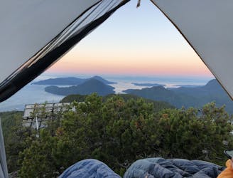
1.6 km away
Beautiful Howe Sound sunset with a sneaky peak of Tantalus
Moderate Hiking
2 km away
The safe and legal option for hiking Tunnel Bluffs.
Easy Hiking
2 km away
A steep hike, with an easy scramble to the summit
Severe Hiking
2.1 km away
A steep climb with an short, but thrilling narrow exposed ridge to a beautiful summit.
Extreme Hiking
6.9 km away
Local classic to take in a beautiful Howe Sound sunset
Moderate Hiking
7.1 km away
Popular hike with scenic views over Howe Sound
Moderate Hiking
8.4 km away
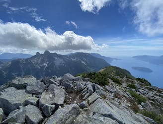
Enjoy fabulous 360° views of Howe Sound
Difficult Hiking
9 km away
A moderate hike with excellent view over Vancouver and the Salish Sea
Moderate Hiking
9 km away
Challenging North Shore Hike
Difficult Hiking

7 routes · Hiking · Trail Running

6 routes · Hiking

3 routes · Hiking