17 m away
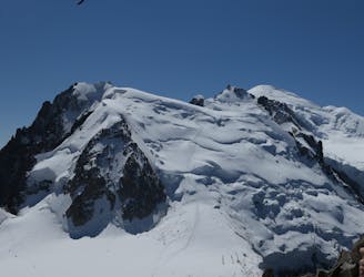
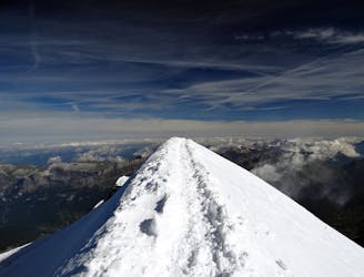
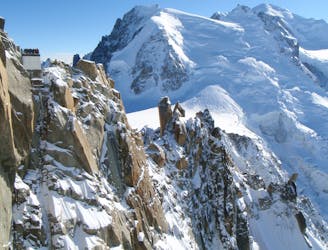
Mont Blanc, 4808m. Goûter Route.
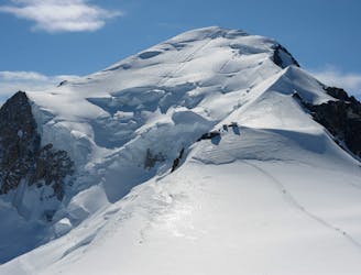
The most popular route up the highest peak in Western Europe.
Moderate Alpine Climbing
- Distance
- 8 km
- Ascent
- 1.1 km
- Descent
- 1.1 km
Day 2: Refuge du Gouter - Summit - down to Nid d'Aigle or Bellevue
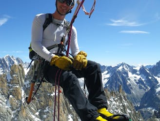
Alpine Climbing Severe

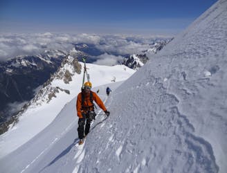
This is a popular alpine climbing route which is generally considered to be severe. It's very remote, it features medium exposure and is typically done between June and September. From a low point of 1.8 km to the maximum altitude of 4.8 km, the route covers 18 km, 1183 vertical metres of ascent and 3222 vertical metres of descent. You'll need ice axe, crampons and glacier kit to complete it safely.
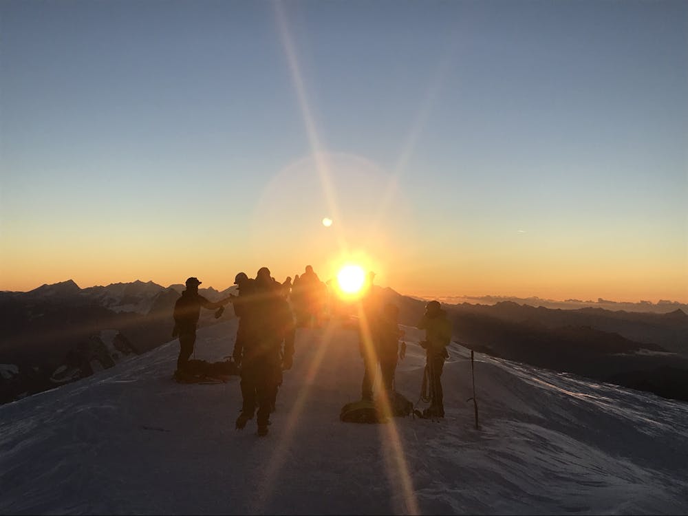
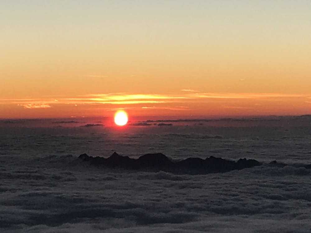
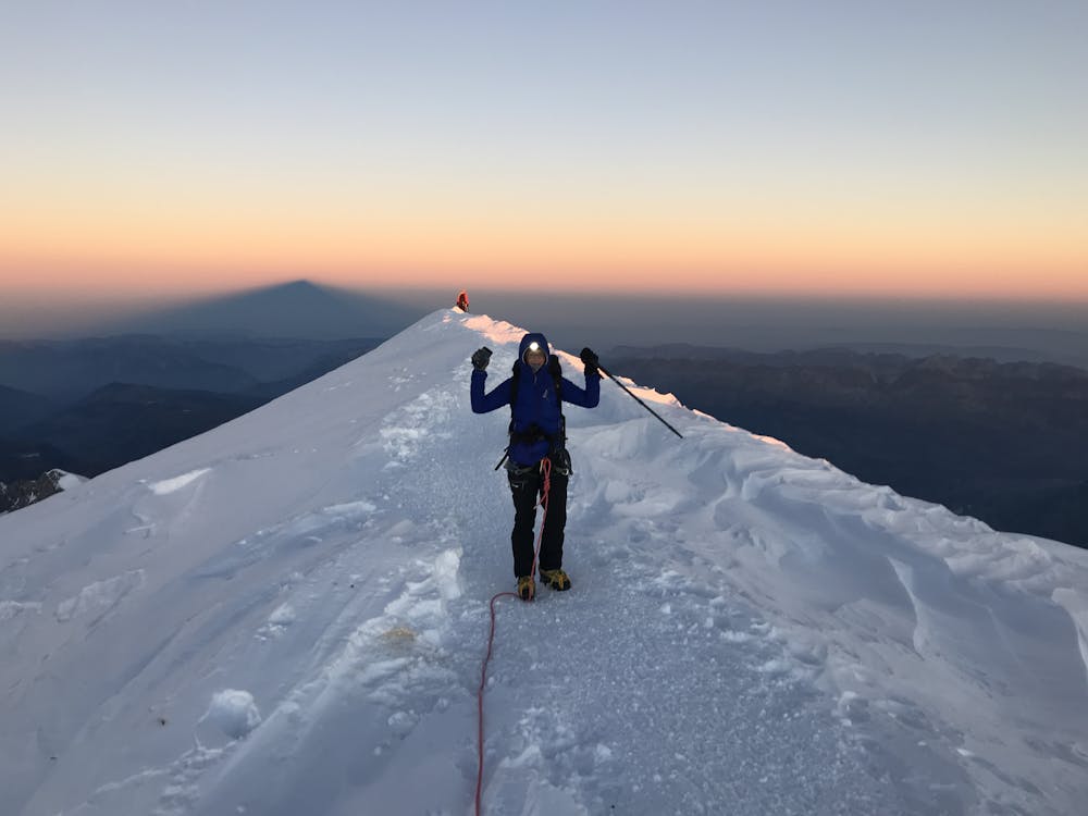
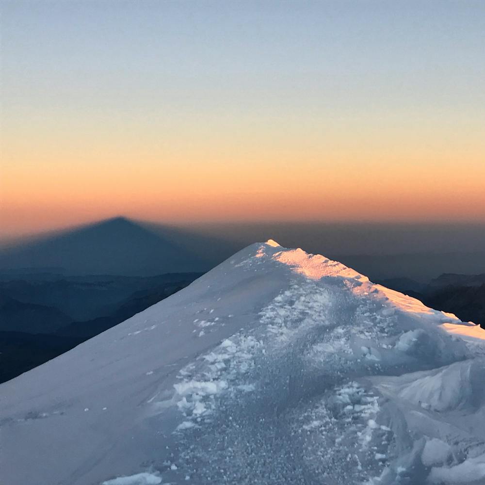

Start from Gouter hut around 3am. The ascent is all the way on glaciers and the final part from Vallot follows a snow ridge. The descent is long and has to be considered as at least half of your day!
Severe
Steep, sustained and serious terrain on rock/ice. Routes will be long, exposed and possibly committing. D, D+

The route features some exposed and/or difficult to protect sections.

Little chance of being seen or helped in case of an accident.
17 m away
The most popular route up the highest peak in Western Europe.
Moderate Alpine Climbing
2.6 km away
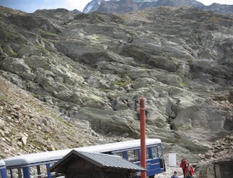
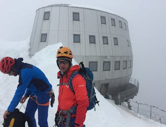
A significant day itself accessing the highest guardian-ed hut in France.
Moderate Alpine Climbing
3.2 km away
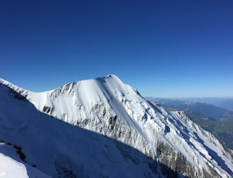
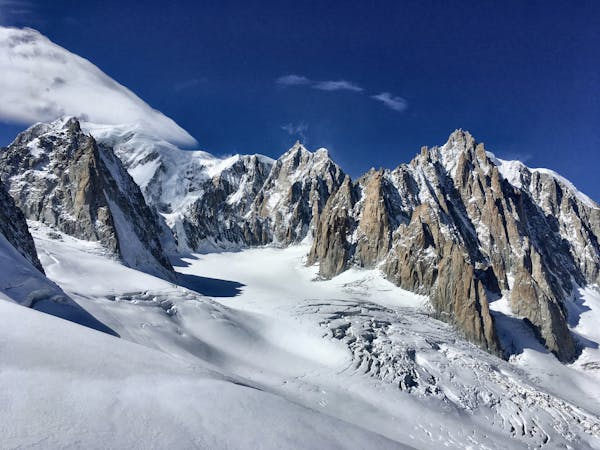
The most amazing traverse of several 4000m peaks including the iconic Aiguille du Bionnassay and Mont Blanc
Difficult Alpine Climbing
3.5 km away
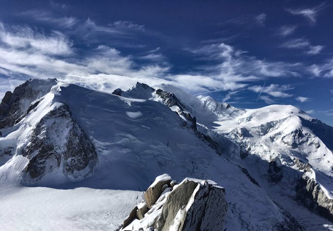
A fantastic route from the wild Italian side of the mountain traversing to descend into France
Moderate Alpine Climbing
5.4 km away
Though this a normal route it is a relatively steep route up a N Face and is an avalanche black spot
Moderate Alpine Climbing
5.4 km away
A characterful N Face in a wild location, but with relatively easy access.
Difficult Alpine Climbing
5.4 km away
A huge day out through very complicated glacial terrain to the highest peak in Western Europe
Moderate Alpine Climbing
5.4 km away
A wonderful high mountain journey through huge, wild mountains
Moderate Alpine Climbing
5.4 km away
A truly classic route, which is serious and exposed but not technically difficult.
Difficult Alpine Climbing
5.6 km away
An iconic and accessible route with great and varied climbing, with amazing exposure down to Chamonix
Difficult Alpine Climbing
3 routes · Alpine Climbing · Hiking
5 routes · Alpine Climbing

12 routes · Alpine Climbing · Hiking

15 routes · Alpine Climbing · Hiking

6 routes · Alpine Climbing · Hiking

9 routes · Alpine Climbing · Hiking

6 routes · Alpine Climbing

9 routes · Alpine Climbing · Hiking

18 routes · Alpine Climbing · Hiking

10 routes · Alpine Climbing