2.7 km away
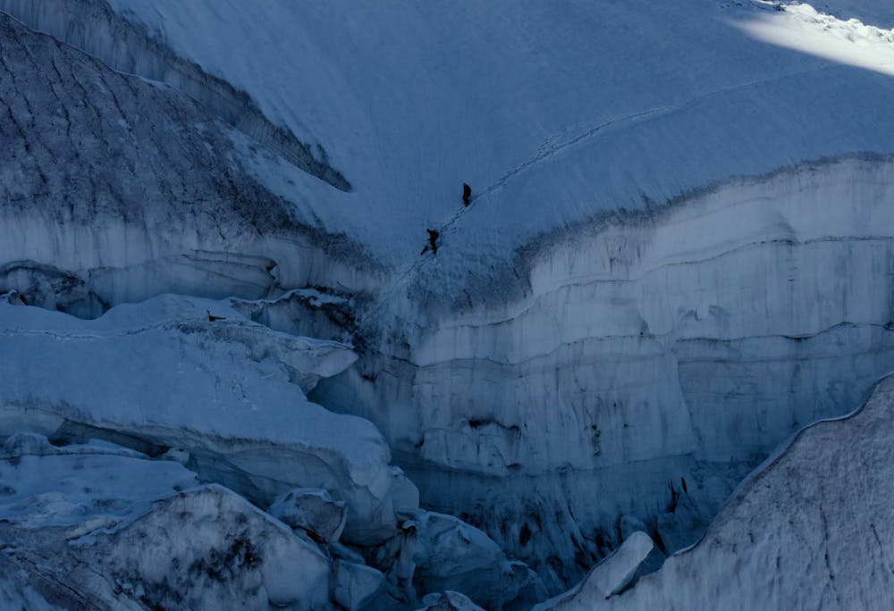
Approach to the Mittelegi Hut
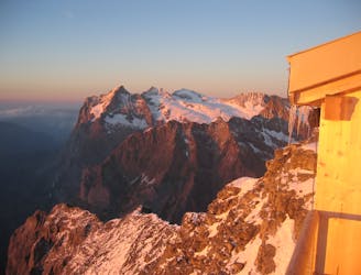
This hut approach is an alpine route in itself, to an amazing hut in an outrageous location
Difficult Alpine Climbing
- Distance
- 1.6 km
- Ascent
- 238 m
- Descent
- 114 m
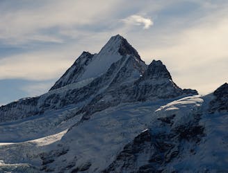
The climb to the Eiger Mushroom
Alpine Climbing Moderate

Used as a descent from the Mushroom or for BASE jumpers wishing to jump from the mushroom. Starting from the Eigergeschlecter station walk around the back and follow the painted markings up the bands of rock. (Fixed ropes in place.)
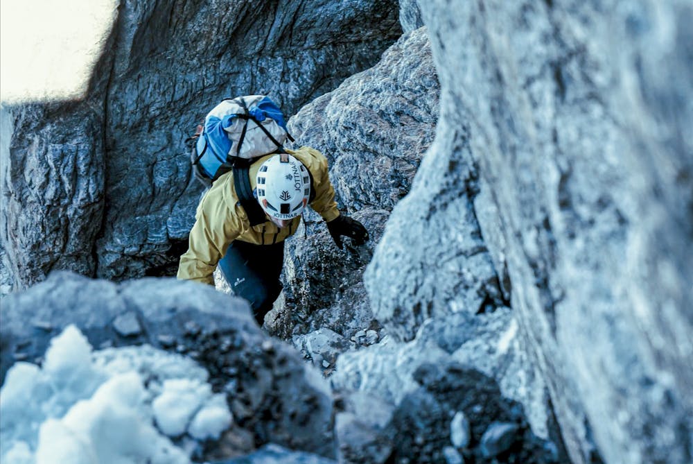
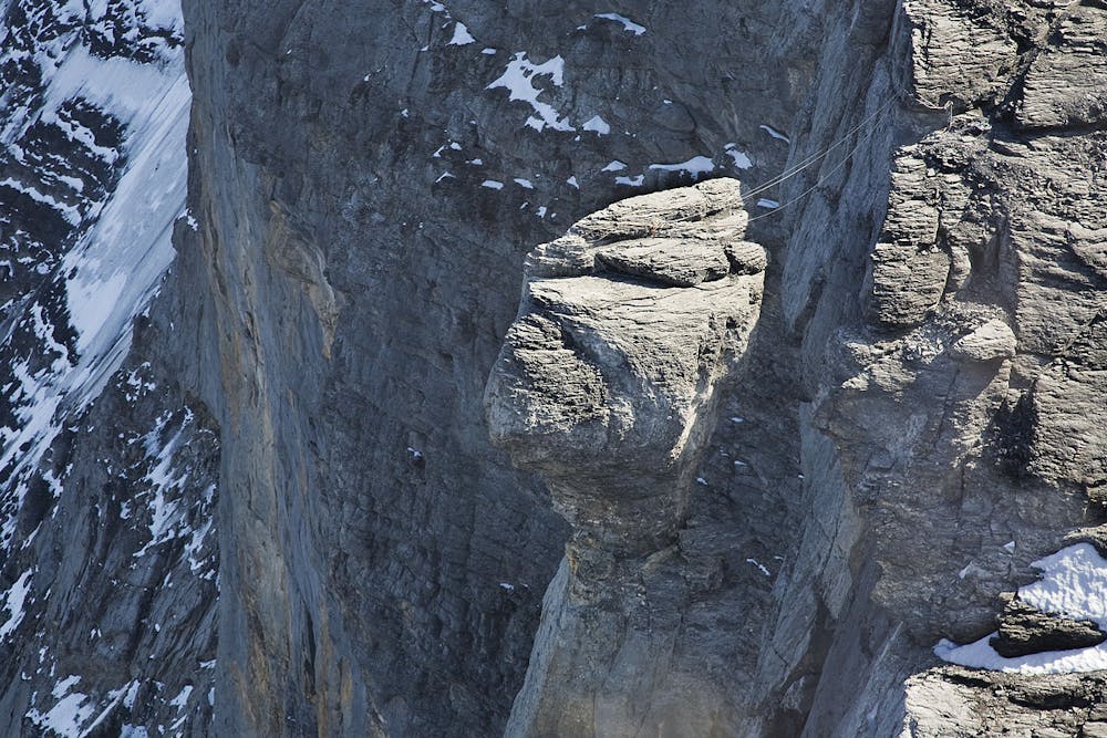
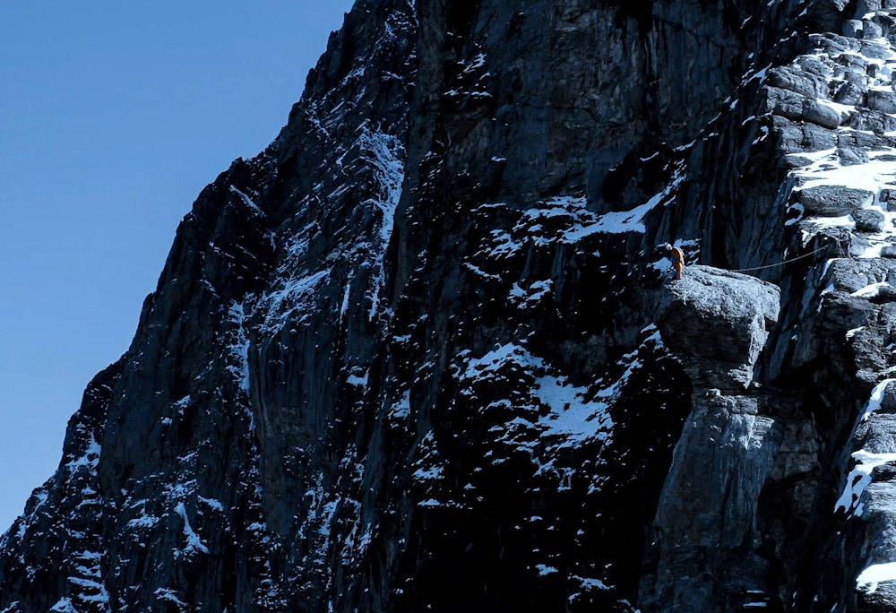
You soon arrive at the col where the Rohtstock via-ferrata tops out. Follow the faint path to the start of the rock scramble. Here you should follow the path of least resistance and a series of cairns.
This should take you to a cliff section, to the right of this large band is a weakness in the cliff where you will find a vertical fixed rope section, you may want to rope up here.
At the top of this follow more cairns directing you slightly left to the edge of the North face, where you will soon be able to see the Mushroom.
Watch the full film here: https://eu.jottnar.com//pages/the-eiger-playground
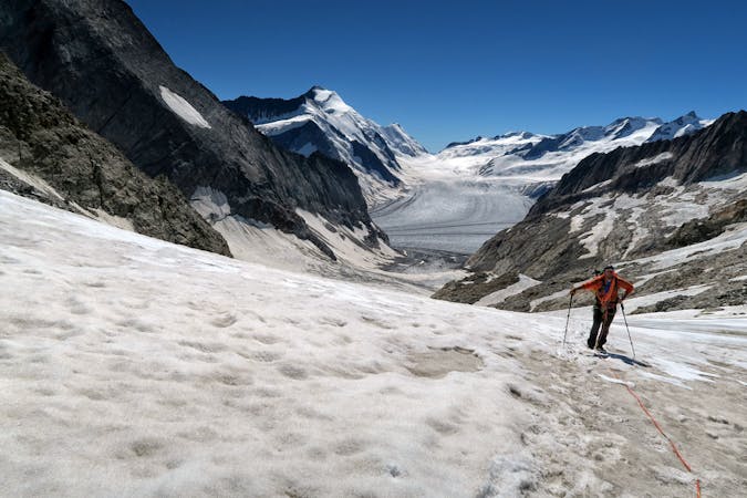
Moderate
May involve slightly more complex glacier hikes, easy but possibly long rock ridges and steep snow up to 45 degrees. Equivalent to PD, PD+

The route features some exposed and/or difficult to protect sections.
Away from help but easily accessed.
2.7 km away
This hut approach is an alpine route in itself, to an amazing hut in an outrageous location
Difficult Alpine Climbing
3.1 km away
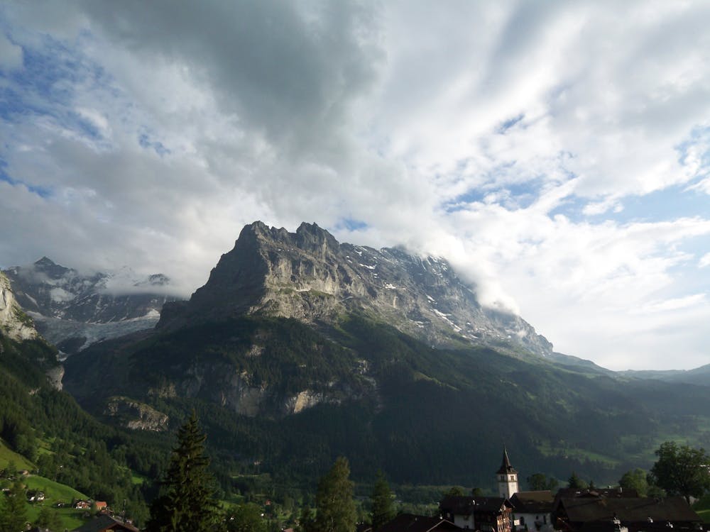
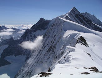
A significant mountain, frequently underestimated due to the excellent lift access
Moderate Alpine Climbing
3.1 km away
A physically easy (ish) start to a high mountain adventure.
Easy Alpine Climbing
3.1 km away
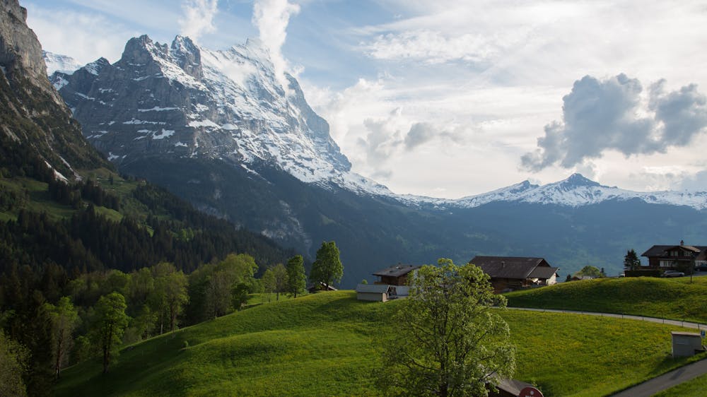
A straightforward, stunning peak in amongst the giants of the Bernese Oberland.
Easy Alpine Climbing
3.1 km away
A true classic up a staggeringly well positioned peak.
Difficult Alpine Climbing
3.2 km away
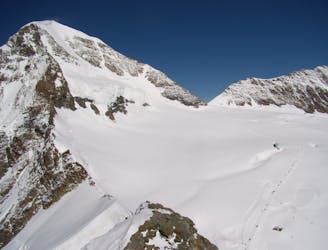
A high altitude glacial journey, to a steep col, then 2 quickly accessed 4000m peaks
Moderate Alpine Climbing
3.8 km away
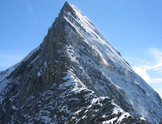
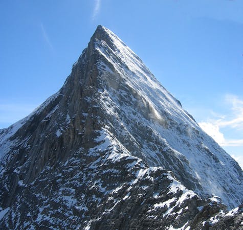
One of the very best routes in the Alps, on a legendary peak
Difficult Alpine Climbing
9.5 km away
A complicated approach followed by a great route on lovely red rock
Difficult Alpine Climbing
9.5 km away
One of the finest and longest ridge traverses in the Alps, on great rock
Severe Alpine Climbing

11 routes · Alpine Climbing · Hiking
4 routes · Alpine Climbing
8 routes · Alpine Climbing · Hiking

6 routes · Alpine Climbing
10 routes · Alpine Climbing · Hiking

10 routes · Alpine Climbing · Hiking

20 routes · Alpine Climbing · Hiking
9 routes · Alpine Climbing · Hiking