750 m away
Frosty's Challenge -> Wanderer
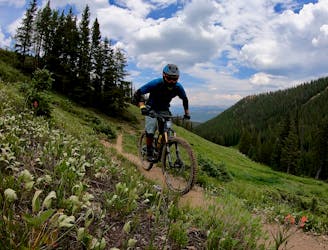
A short but sweet scenic singletrack rip.
Difficult Mountain Biking
- Distance
- 2.6 km
- Ascent
- 26 m
- Descent
- 204 m
Valley Trail that takes you to the base of Peak 9
Mountain Biking Moderate

This is a popular mountain biking route which is generally considered to be moderate. It's an unknown remoteness, it features unknown exposure and is typically done in an unknown time of year. From a low point of 3 km to the maximum altitude of 3.2 km, the route covers 1.8 km, 1 vertical metres of ascent and 159 vertical metres of descent.
This trail runs on the valley base between Peak 8 and Peak 9. It not maintained so please be aware of any random obstacles. It will meet up with the mountain roads of Peak 9 which will take you down to the Peak 9 base area.
Moderate
Mostly stable trail tread with some variability, with unavoidable obstacles 8in/20cm tall or less. Other obstacles such as rock gullies and steep sections may exist. Ideal for lower intermediate riders.
750 m away
A short but sweet scenic singletrack rip.
Difficult Mountain Biking
945 m away
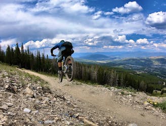
The true singletrack gem in the Breckenridge Bike Park.
Difficult Mountain Biking
945 m away
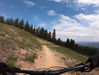
A flowy beginner trail running top-to-bottom in the Breckenridge Bike Park.
Easy Mountain Biking
945 m away
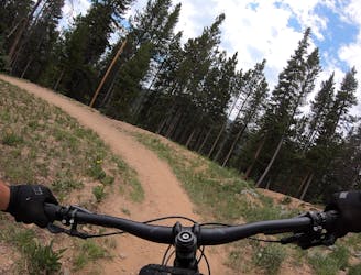
Another easy beginner trail, but unfortunately not quite as good as the Swinger Trail.
Easy Mountain Biking
945 m away
A slightly chunkier descent that still only ranks as an intermediate singletrack trail.
Moderate Mountain Biking
2.6 km away
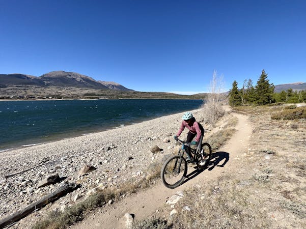
An easy out-and-back gravel ride from downtown Breck to the top of Boreas Pass.
Easy Mountain Biking
3.1 km away
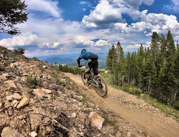
A popular intermediate ride in the Breckenridge area combining both new school and old school singletrack.
Difficult Mountain Biking
3.8 km away

An excellent beginner loop through the complex Summit County trail system.
Easy Mountain Biking
6.9 km away
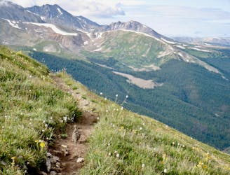
One of the best sections of high alpine singletrack in the state of Colorado!
Difficult Mountain Biking
6.9 km away
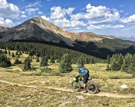
This brutal segment of the Colorado Trail is best enjoyed on a long-travel enduro bike.
Extreme Mountain Biking

26 routes · Mountain Biking

25 routes · Mountain Biking
9 routes · Mountain Biking
11 routes · Mountain Biking
5 routes · Mountain Biking