3.4 km away
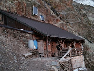
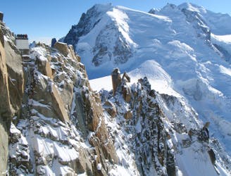
Approach to the Goûter Hut
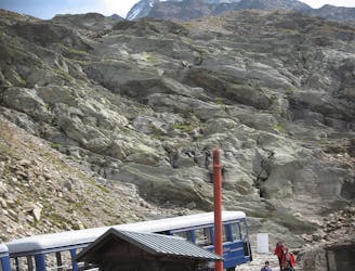
A significant day itself accessing the highest guardian-ed hut in France.
Moderate Alpine Climbing
- Distance
- 4.4 km
- Ascent
- 1.5 km
- Descent
- 17 m
Les Houches - Mont Blanc - Les Houches
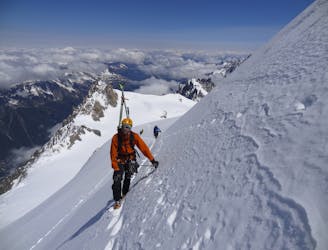
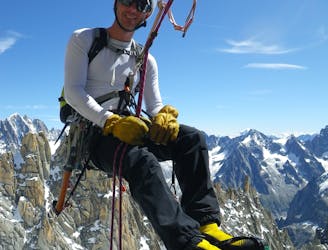
Alpine Climbing Extreme

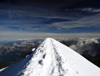
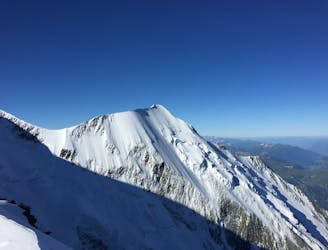
This is a popular alpine climbing route which is generally considered to be extreme. It's remote, it features high exposure and is typically done between June and September. From a low point of 1 km to the maximum altitude of 4.8 km, the route covers 32 km, 4021 vertical metres of ascent and 4036 vertical metres of descent. You'll need crampons and glacier kit to complete it safely.


A unique and incredible way to climb Mont Blanc 4810m: up and down from Les Houches!!
Extreme
Long, committing and complex routes with difficult and sustained climbing on rock/ice and challenging route finding throughout. TD upwards.

Much of the route is difficult to protect and a fall could be disastrous at certain points.

Away from help but easily accessed.
3.4 km away
A significant day itself accessing the highest guardian-ed hut in France.
Moderate Alpine Climbing
4.9 km away
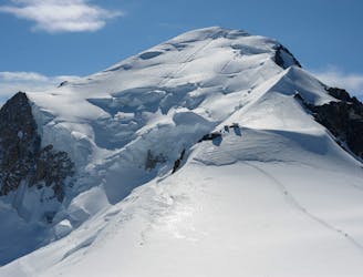
The most popular route up the highest peak in Western Europe.
Moderate Alpine Climbing
6.7 km away
A very long and remote day that can be halved by staying in the Plan Glacier Hut
Moderate Alpine Climbing
7 km away
Though this a normal route it is a relatively steep route up a N Face and is an avalanche black spot
Moderate Alpine Climbing
7 km away
A characterful N Face in a wild location, but with relatively easy access.
Difficult Alpine Climbing
7 km away
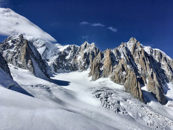
A huge day out through very complicated glacial terrain to the highest peak in Western Europe
Moderate Alpine Climbing
7 km away
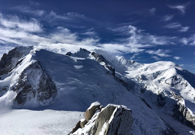
A wonderful high mountain journey through huge, wild mountains
Moderate Alpine Climbing
7 km away
A truly classic route, which is serious and exposed but not technically difficult.
Difficult Alpine Climbing
7.2 km away
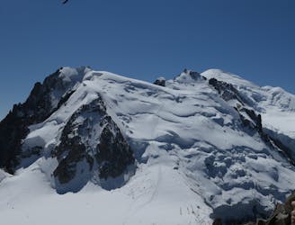
The most amazing traverse of several 4000m peaks including the iconic Aiguille du Bionnassay and Mont Blanc
Difficult Alpine Climbing
7.2 km away
An iconic and accessible route with great and varied climbing, with amazing exposure down to Chamonix
Difficult Alpine Climbing
3 routes · Alpine Climbing · Hiking
5 routes · Alpine Climbing

12 routes · Alpine Climbing · Hiking

15 routes · Alpine Climbing · Hiking

6 routes · Alpine Climbing · Hiking

9 routes · Alpine Climbing · Hiking

6 routes · Alpine Climbing

9 routes · Alpine Climbing · Hiking

18 routes · Alpine Climbing · Hiking