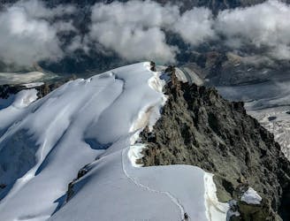
2.5 km away
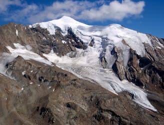
Lenzspitze Nadelhorn Traverse
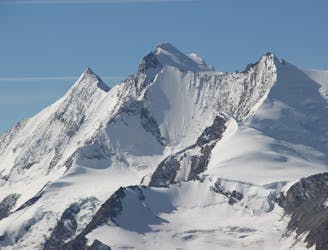
A great route traversing two 4000m peaks, with excellent rock towards the summit of the Nadelhorn
Difficult Alpine Climbing
- Distance
- 5.5 km
- Ascent
- 1 km
- Descent
- 1 km
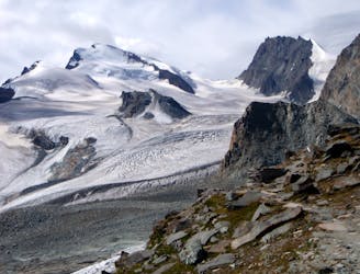
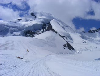
Ascent from Saas-Fee to Mischabelhütte
Alpine Climbing Difficult

This is a popular alpine climbing route which is generally considered to be difficult. It's remote, it features medium exposure and is typically done between June and September. From a low point of 1.8 km to the maximum altitude of 3.3 km, the route covers 4.2 km, 1497 vertical metres of ascent and 0 vertical metres of descent.
The hut ascent from Saas Fee is marked. Ascent is with steel cables and a ladder in the upper ridge area. It takes about 4 hours.
Difficult
The beginning of truly technical terrain which might involve pitched climbing on rock and/or ice, exposed terrain and complex route finding in ascent and descent. Equivalent to AD, AD+

The route features some exposed and/or difficult to protect sections.
Away from help but easily accessed.
2.5 km away
A great route traversing two 4000m peaks, with excellent rock towards the summit of the Nadelhorn
Difficult Alpine Climbing
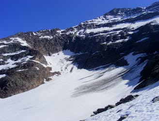
3.3 km away
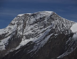
A long glacial journey up a complicated glacier to a remote summit.
Moderate Alpine Climbing
5.3 km away
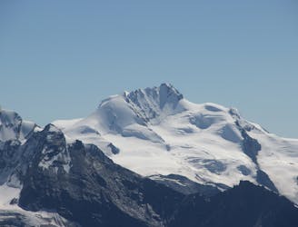
A beautiful summit with a characteristic sawtooth N Ridge, here climbed most easily from the opposite side.
Moderate Alpine Climbing
5.3 km away
A long journey up a relatively straightforward snowy peak, popular in the spring too.
Moderate Alpine Climbing
5.3 km away
A classic route and an aesthetic line.
Moderate Alpine Climbing
5.6 km away
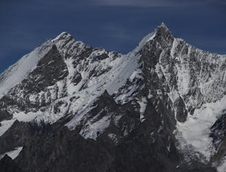
A famous and committing high altitude traverse between two mighty peaks
Severe Alpine Climbing
5.6 km away
Possibly the easiest 4000er in the Alps which enjoys spectacular views
Easy Alpine Climbing
6.5 km away
A great one day trip to the summit of a gorgeous 4000er
Moderate Alpine Climbing
6.5 km away
A very popular route to a relatively easy 4000m peak, also commonly climbed in the spring as a ski tour
Moderate Alpine Climbing
6.7 km away

A fantastic traverse of a popular peak, starting from a remote hut.
Moderate Alpine Climbing

9 routes · Alpine Climbing · Hiking

11 routes · Alpine Climbing · Hiking

6 routes · Alpine Climbing · Hiking

10 routes · Alpine Climbing · Hiking

20 routes · Alpine Climbing · Hiking