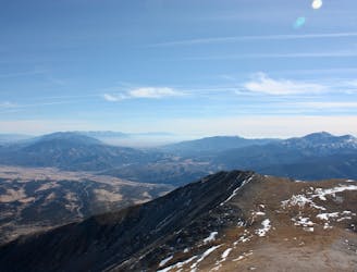
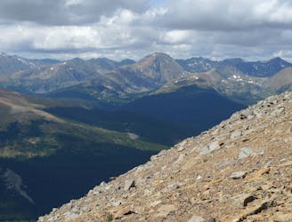
Midland Hill
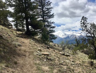
A remarkably beautiful hike beginning in downtown Buena Vista.
Severe Hiking
- Distance
- 7.8 km
- Ascent
- 517 m
- Descent
- 517 m
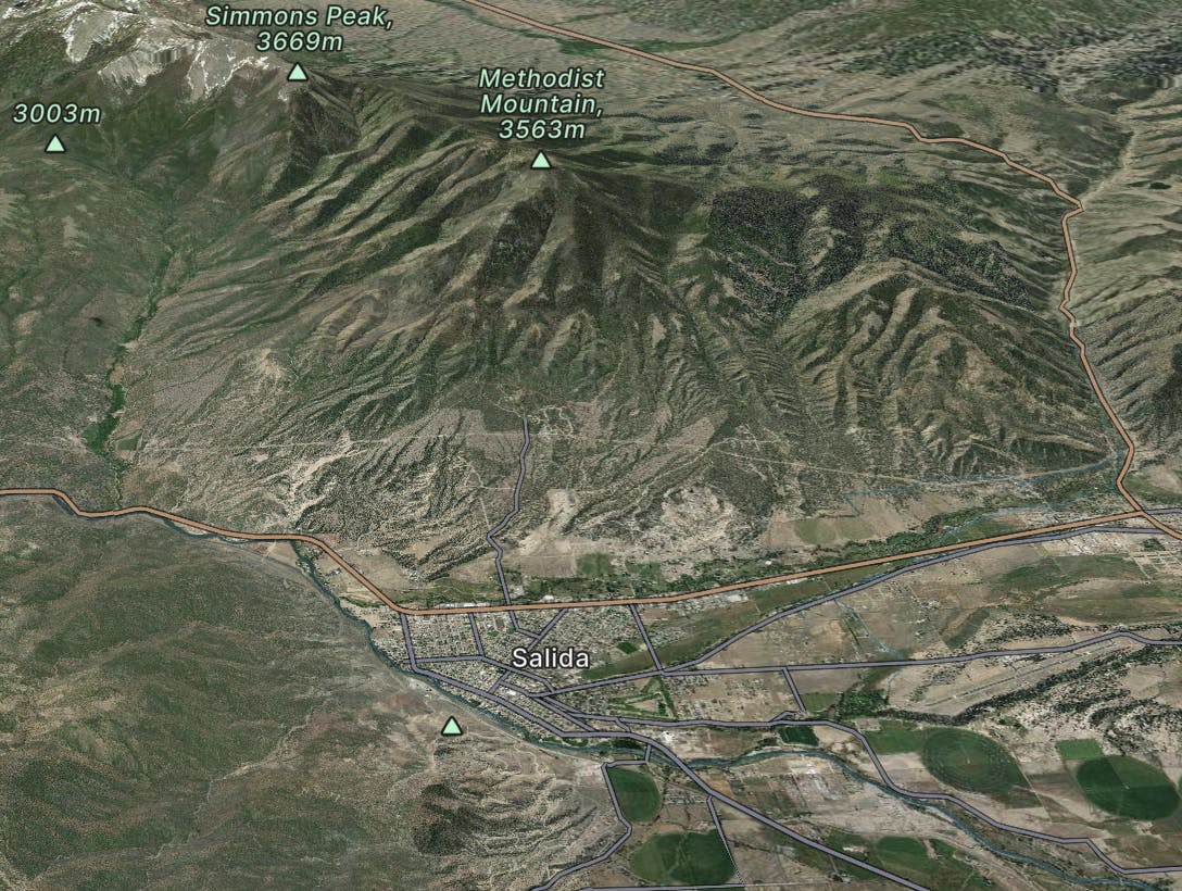
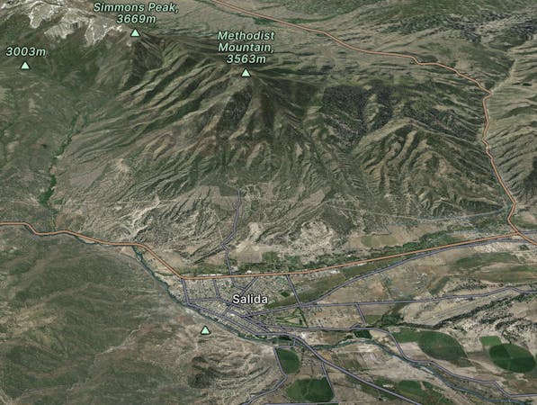
Salida
Explore Salida with curated guides of the best hiking trails, mountain bike trails, trail running routes, ski routes, and more. With over 552 3D trail maps in FATMAP, you can easily discover and navigate the best trails in Salida.
No matter what your next adventure has in store, you can find a guide on FATMAP to help you plan your next epic trip.
Get a top trail recommendation in Salida from one of our 75 guidebooks, or get inspired by the 552 local adventures uploaded by the FATMAP community. Start exploring now!
A remarkably beautiful hike beginning in downtown Buena Vista.
Severe Hiking

A steep old mining road that leads to ruins on the slopes of Red Mountain with great views over the Blue River Valley and surrounding peaks.
Difficult Hiking
Steep hike and ridge traverse to the summit of North Star Mountain on the Continental Divide.
Difficult Hiking
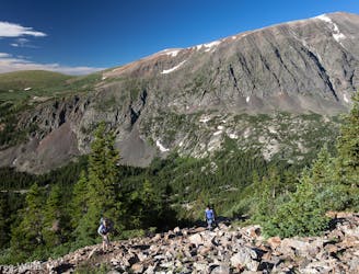
One of the most easily-accessible trailheads in Chaffee County leads to two of Colorado's famous 14ers.
Easy Alpine Climbing
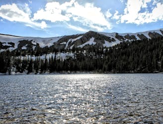
Climb to a set of beautiful alpine lakes nestled right below the Continental Divide.
Difficult Hiking
A scenic hike to a roaring waterfall nestled in a gorgeous mountain canyon.
Difficult Hiking
Trail that climbs a out of a forested valley to an alpine basin with lakes and waterfalls, dotted with historic mine sites along the way.
Moderate Hiking

Hike along a forested ridgeline that follows a historic flume and other mining relics.
Moderate Hiking
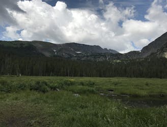
Forested trail near Boreas Pass Road with mountain views and a chance at spotting wildlife.
Moderate Hiking
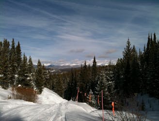
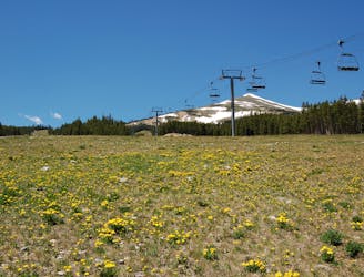
Steep hike on a wide trail to the tallest summit above Breckenridge Ski Resort.
Difficult Hiking

Hillside hike outside Breckenridge with abandoned mine sites and valley views.
Easy Hiking
Network of trails through forest and wetlands of a wildlife preserve, nestled between the town and ski resort of Breckenridge.
Easy Hiking

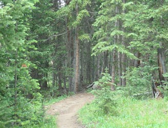
Singletrack connector through the forest between Indiana Creek Road and Boreas Pass Road in Breckenridge.
Easy Hiking
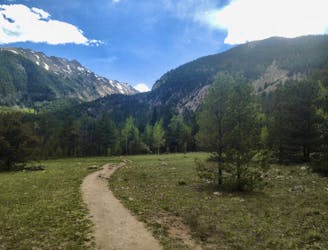
Journey through a forested valley from Frisco to Breckenridge.
Moderate Hiking
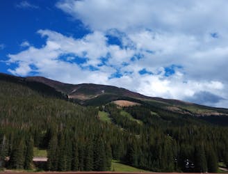
Steep hike to panoramas atop a 13,000-foot peak just outside of Breckenridge.
Difficult Hiking
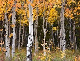
Forest hike that begins from Breckenridge Ski Resort, alongside a trickling stream and beneath brilliant foliage in fall.
Moderate Hiking