14 m away
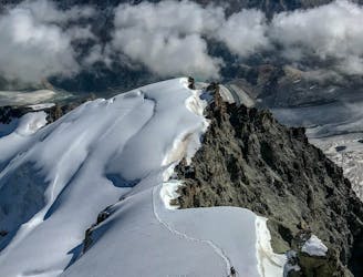
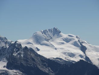
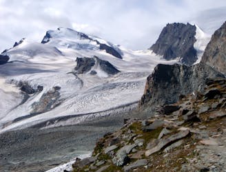
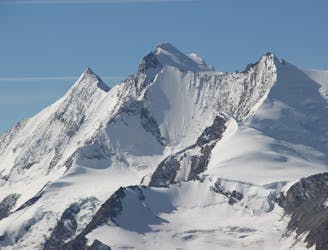
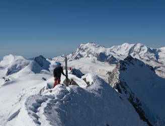
Allalinhorn
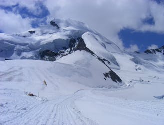
Possibly the easiest 4000er in the Alps which enjoys spectacular views
Easy Alpine Climbing
- Distance
- 4.5 km
- Ascent
- 580 m
- Descent
- 580 m
Normalweg - Hochtour
Alpine Climbing Easy

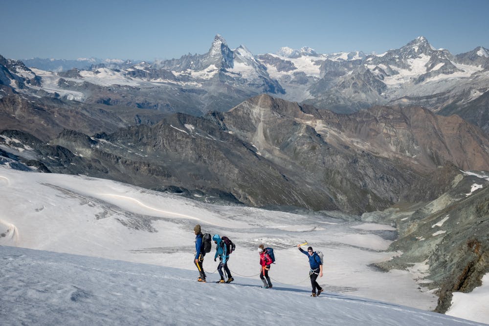
This is a popular alpine climbing route which is generally considered to be easy. It's not remote, it features low exposure and is typically done between June and September. From a low point of 3.5 km to the maximum altitude of 4 km, the route covers 2.6 km, 561 vertical metres of ascent and 1 vertical metres of descent. You'll need ice axe, crampons and glacier kit to complete it safely.
Tourenbericht und Routeninfos: https://www.suedtirolalpin.com/post/allalinhorn-normalweg
www.suedtirolalpin.com
Easy
The ascent involves simple glacier hiking and/or short, straightforward rock scrambles. Equivalent to Alpine F, F+

The route is well protected or easy enough that protection is not required.
Close to help in case of emergency.
14 m away
Possibly the easiest 4000er in the Alps which enjoys spectacular views
Easy Alpine Climbing
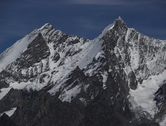
2.3 km away
A classic route and an aesthetic line.
Moderate Alpine Climbing
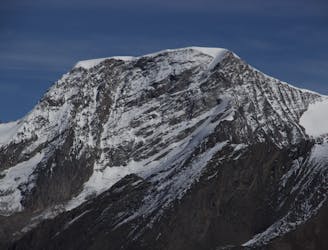
2.4 km away
A beautiful summit with a characteristic sawtooth N Ridge, here climbed most easily from the opposite side.
Moderate Alpine Climbing
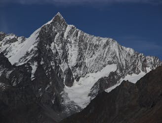
2.4 km away
A long journey up a relatively straightforward snowy peak, popular in the spring too.
Moderate Alpine Climbing
2.9 km away
A long glacial journey up a complicated glacier to a remote summit.
Moderate Alpine Climbing
3.5 km away
A famous and committing high altitude traverse between two mighty peaks
Severe Alpine Climbing
5.8 km away
A fantastic, classic mountain ridge climb on one of the most demanding Alpine 4000ers
Difficult Alpine Climbing
5.9 km away
A great route traversing two 4000m peaks, with excellent rock towards the summit of the Nadelhorn
Difficult Alpine Climbing
7.3 km away

A very big day from Täschalp which can be split with a night in the Täsch Hut
Moderate Alpine Climbing
8.4 km away
A long and impressive glacial journey to a remote summit, after a big hut approach the day before
Moderate Alpine Climbing

9 routes · Alpine Climbing · Hiking

11 routes · Alpine Climbing · Hiking

10 routes · Alpine Climbing · Hiking

6 routes · Alpine Climbing · Hiking

10 routes · Alpine Climbing · Hiking

9 routes · Alpine Climbing · Hiking

20 routes · Alpine Climbing · Hiking